Hiking The Lions Binkert Trail West Vancouver, BC
By the end of summer 2022, I’d had a full season of hiking and running. I was feeling strong and confident in a way that mid-summer me wouldn’t have been. Malia and Katie were in the same place. The Lions had been on Malia’s list for a while — one of those hikes that sits in the back of your mind as the thing you’ll do when you’re ready. We decided we were ready. Go big or go home. One last summer hurrah.
It was the most strenuous and adventurous day hike I’ve ever done. I would do it again.
Lions Binkert Trail Details
Location: Lions Bay, BC — Binkert Trail
Distance: 16 km return
Elevation gain: 1,280 m
Difficulty: Difficult
Trail type: Out-and-back
Time: 8 hours (budget the full time unless you’re an experienced fast hiker)
Trailhead: Yellow gate, Lions Bay
Season: Late spring through early fall — snow above treeline possible early and late season
The Route: Section by Section
The Start: Lions Bay to the First Junction
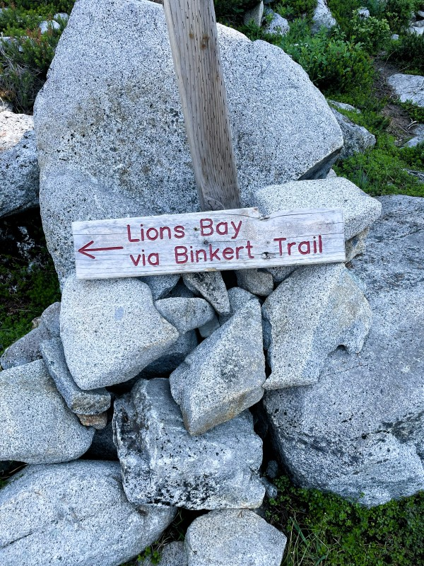
Hiking the Lions begins at the yellow gate in Lions Bay. Follow the wide gravel road — flat for the first five minutes or so, long enough to warm up the legs and feel optimistic about the day ahead, short enough not to be fooled. The ascent begins quickly.
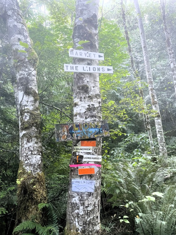
A fork in the trail appears a short distance up — one branch heading toward Mount Harvey, one continuing toward the Lions. Go right. The wide gravel road continues through a series of switchbacks, gradually gaining elevation with each turn.
After 25–30 minutes, the trail reaches another junction. Right again. The grade levels off here and remains relatively flat for the next 30 minutes or so — a genuinely pleasant section of trail that winds around the mountainside through forest. The three of us were feeling good at this point, talking, enjoying the trees, not yet working too hard.
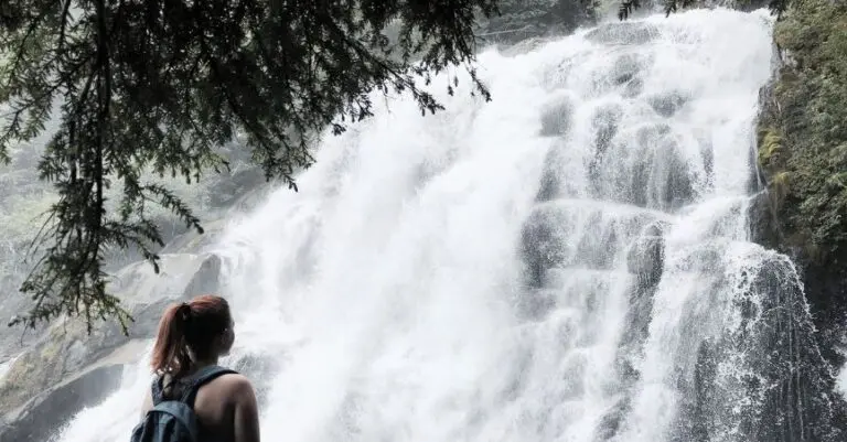
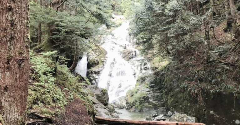
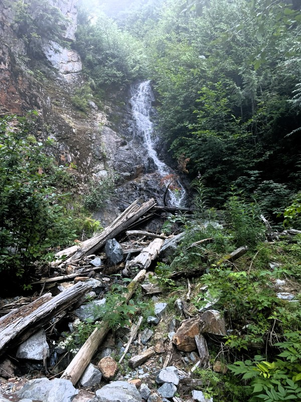
The waterfalls along this section were minimal at the end of August — mostly snowmelt, and they’d quieted down by late summer — but the pools below them were cold and clear. We stopped to dip our hands in. Small pleasures on a long trail.
Enjoy this flat section. The steepest parts are still ahead.
Harvey Creek and the Viewpoint
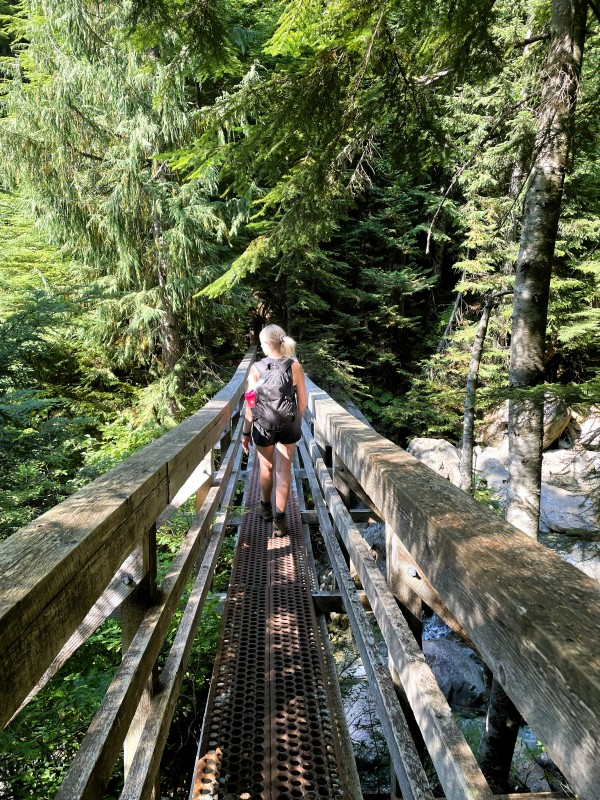
As the dirt trail becomes more rocky, watch for a junction on the right signed for the Lions. Take it — a narrow dirt trail drops down toward Harvey Creek. Cross the bridge, climb the other side, and after about 100 metres, the trail veers left to begin the next uphill section.
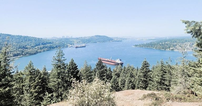
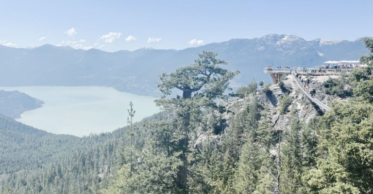
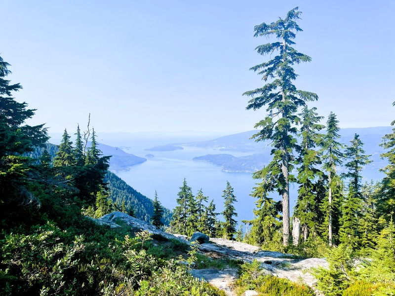
Shortly after the climbing begins again, the trees open into a clearing with a viewpoint over Howe Sound and Bowen Island. We stopped here for snacks and a proper rest — ate something, took in the view, had an honest conversation with ourselves about where we were in the hike and what was still ahead. The view was already good. We knew from the elevation profile that we had a lot of climbing still to do.
This is a good checkpoint moment. Eat something, assess how everyone is feeling, and make sure you have enough water and food for the second half. The harder section is still coming.
The Forest Climb
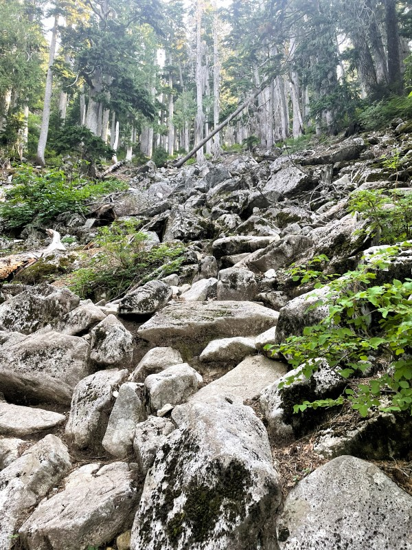
For the next hour or so, the trail climbs steadily through Douglas Fir and Western Red Cedar — a relentless but manageable ascent, the forest getting quieter and the light changing as you gain height. Occasional rockslides on the hillside above speak to the age and scale of this landscape: slides that happened over thousands of years, the evidence still sitting exactly where gravity left it.
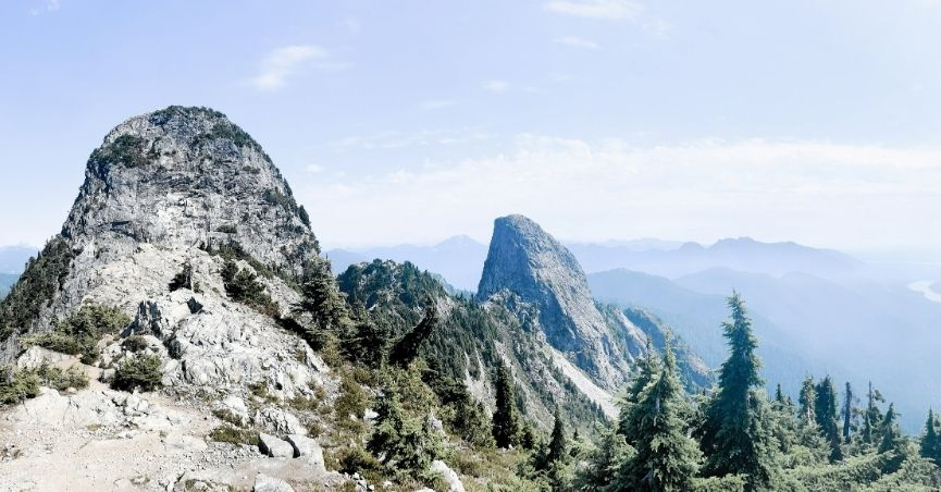
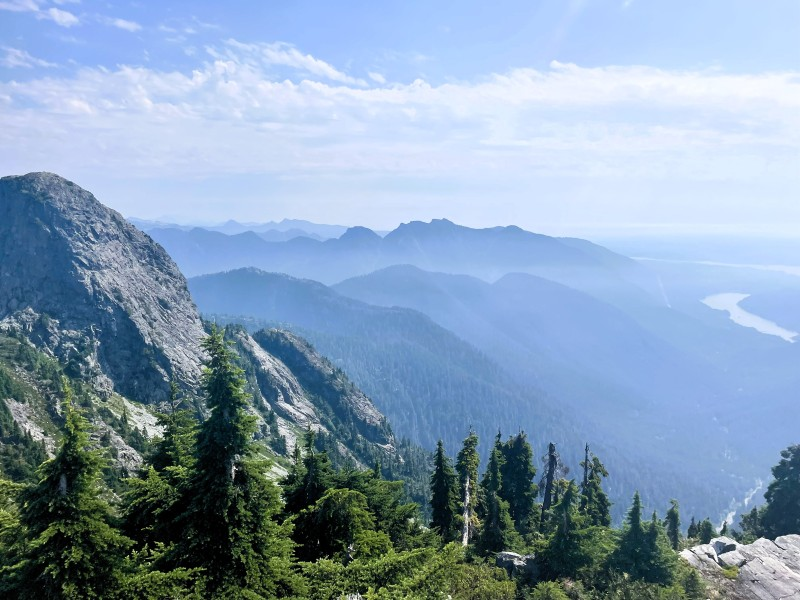
The trees thin gradually. The trail gets rockier. The air cools. And then the forest opens, and you see the West Lion for the first time — standing above you, enormous and immediate, the scale of it arriving before you’ve fully processed what you’re looking at.
We kept saying wow. Because you can’t not.
The Boulder Field and the Scramble
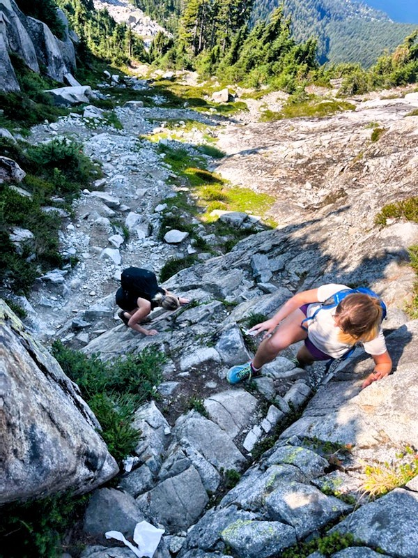
Above the main forest treeline, the character of the hike changes completely. You emerge onto exposed terrain — open sky above, nothing between you and the sun — and the trail transitions from dirt and rock into a full boulder field.
We may have drifted slightly from the coloured markers through the boulder field — there’s a point where the route is less obvious, and it’s easy to keep going up when a slightly different line would be more efficient. Regardless of the exact route, the objective is clear: up, toward the gully above.
The boulder field requires constant attention. Nothing is technical in the climbing sense — no ropes, no specialized equipment — but every step involves choosing: which rock, which handhold, where to shift your weight, which surface is stable and which might shift. You assess the route a few steps ahead continuously, looking for solid footing, avoiding loose or wobbly rocks. It demands presence. You can’t let your mind wander here.
At the top of the boulder field, a short gully requires a proper scramble — hands on rock, body close to the slope, working your way up carefully. I’ll be honest: I was nervous. Not because it was genuinely dangerous — looking back, it was more intimidating than technically risky — but because I was aware of being inexperienced at this kind of terrain, and because there’s a particular feeling of vulnerability when you’re on steep rock above a long drop, and your hands are your primary relationship with the mountain.
We were too far in to turn around. We went up.
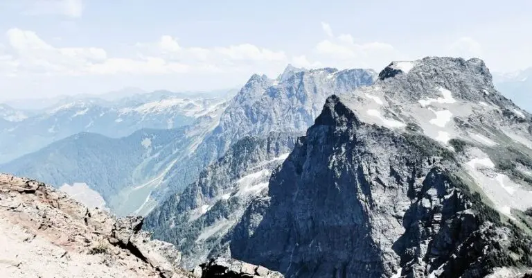
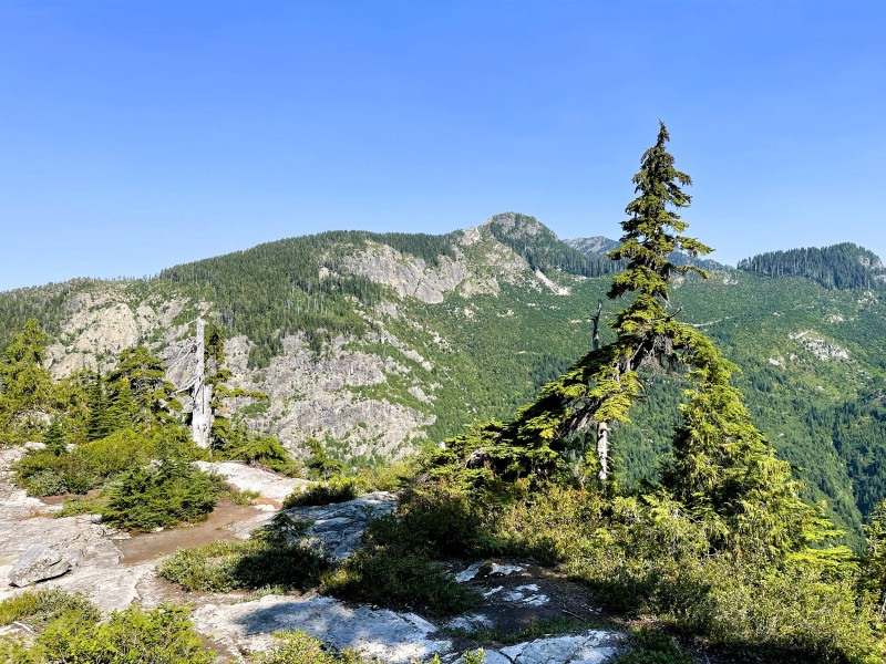
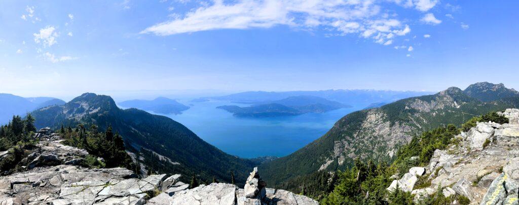
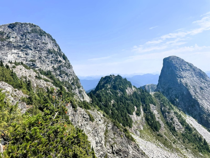
Reaching the ridge above the gully, another small rise appears ahead. A few more minutes and you gain the upper ridge — and suddenly both Lions peaks are visible, Howe Sound spreads below you, Unnecessary Mountain sits across the gap, and Vancouver is visible in the distance to the left.
The View from the Top
I often think, standing at the top of something like this, about the people who stood here before any of this was mapped or named or reached by a trailhead parking lot. When the world was smaller, and a view like this might have been, essentially, everything a person knew of the landscape. The furthest they’d seen. The edge of their understood world.
That framing has changed. Looking out from the top of the Lions, I could see places I’ve been — the city, the water, the islands, the mountains that lead to other mountains. I know what’s beyond what I can see. The view is still breathtaking, but it lands differently now: less as revelation and more as a reminder. That nature is extraordinary. That we are less connected to the land than people once were. That I am genuinely, absurdly lucky to live somewhere I can do this, to have a body that got me up here, to have two friends willing to come along and suffer beautifully alongside me.
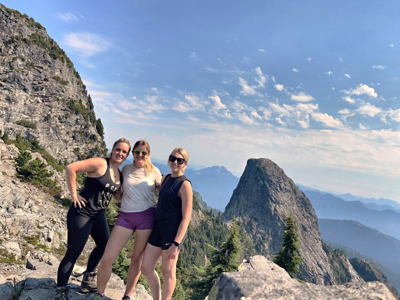
We took a lot of photos. We savoured the success for longer than we probably needed to, and shorter than we wanted to.
Then we remembered we had to get down.
The Descent
The first section of the descent carried the energy of the summit — still buzzing, still replaying the scramble and the view, the three of us talking over each other in that particular post-achievement mode. The boulder field going down requires the same attention as going up; if anything, more, because tired legs on loose rock is a combination that deserves respect.
Once we cleared the boulders and re-entered the trees through what felt like an old landslide or river bed — rocky, steep, but no longer boulder-field terrain — the mood shifted. We got quieter. Part of that was tiredness, and part of it was knowing how far we still had to go. Part of it, I think, was each of us sitting with the experience in our own way.
The waterfalls on the way back felt like a genuine milestone — softer terrain ahead, the forest closing back in, the steepest sections behind us. Downhill is its own kind of hard: the knees accumulate the impact in a way that the climbing doesn’t prepare you for, and by the time we reached the lower sections of the trail, everyone’s legs were making their feelings known.
We made it back to the trailhead. Sense of achievement and awe at an all-time high.
After: Backcountry Brewing, Squamish
We drove up to Squamish and went to Backcountry Brewing. A flight of sours — they do a good range — and a loaded pizza. Sitting down after eight hours on a mountain, with cold beer and hot food and two friends you just did something hard with, is one of the better feelings available.
It’s the right way to end a day like that.

Should You Do It?
Yes — with the right preparation.
The Lions reward hikers who are in good shape from a season of regular hiking and who are honest with themselves about their fitness level. It’s not a trail for a casual summer walk. The elevation is sustained, the boulder field requires confidence on uneven terrain, and the scramble section asks for calm nerves and careful movement.
If you go:
- Start early — get on the trail early to avoid the afternoon heat in the exposed boulder section above tree line.
- Budget the full 8 hours — don’t assume you’ll be faster than the estimate unless you’re a very experienced and consistently fast hiker
- Bring more water than you think you need — the exposed upper section has no water sources, and the August sun is real
- Sunscreen — apply before the boulder field, not after you’re already in it
- Snacks and a proper lunch — this is a long day, and you will need fuel at the top
- Poles — useful on the descent for protecting the knees
- Stay on the markers in the boulder field — it’s easy to drift and make the route harder than it needs to be
- The scramble is fine — but take your time, stay calm, and don’t rush it
One last thing: the drive to Lions Bay from Vancouver is beautiful in its own right. The Sea to Sky corridor on a clear late-summer morning, heading toward something you know is going to be hard — there’s a particular quality to that anticipation that’s worth noticing on the way up.
Pin me for later…
You might like these BC Hiking posts: