Widgeon Creek & Falls: A Paddle and a Hike
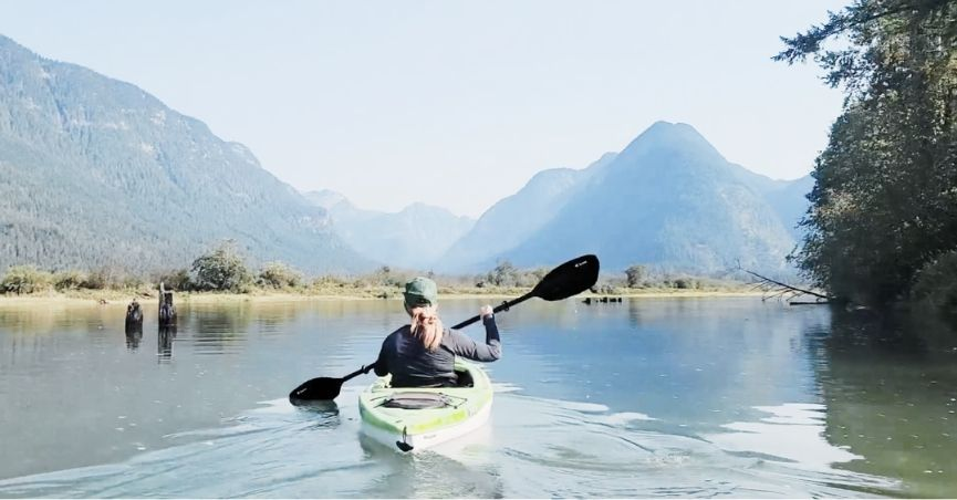
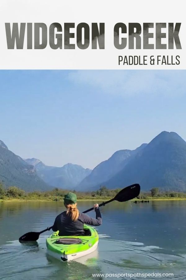
This one was Mark’s idea. He’d done the Widgeon Creek paddle years ago and had been wanting to go back, and once he described paddling through a narrowing creek with mountains on the horizon and a swimming hole at the end, I didn’t need much convincing.
It turned out to be one of those days that’s hard to summarize because nothing dramatic happened, and yet everything was exactly right. A bit of effort at the start, a stretch of genuinely lovely paddling through marsh and creek, a waterfall scramble, a shared beer on a sun-warmed boulder, and a battle with the current on the way home that reminded me I am, at best, a two-to-three-times-a-year kayaker. A good day by any measure.
Widgeon Creek Paddle & Hike Summary
Start: Pitt River / Pitt Lake Boat Launch, Pitt Meadows
Paddle: 9 km (5.6 mi)
Hike: 6.5 km (4 mi)
Elevation Gain: 150 m (492 ft)
Terrain: Water, then dirt trail through PNW forest
Type: Out and back
Time: Full day
Kayak rentals available at the boat launch; canoes, paddleboards, and inflatables also work
Camping: 10 designated tent pads at Widgeon Creek Campground, first come first served
Route map: AllTrails – Widgeon Creek Paddle & Falls
Background on the area
Widgeon Creek and its surrounding area fall within Pinecone Burke Provincial Park, a large and largely undeveloped park stretching through the mountains east of Pitt Lake. The creek feeds into Widgeon Slough, which connects to the Pitt River — and the only way to reach Widgeon Falls and the campground is by water. No road access, no shortcuts. You earn it with a paddle, which is part of what makes it feel like a proper adventure rather than a day walk.
The campground itself has 10 designated tent pads and operates on a first-come, first-served basis. BC Parks asks that campers avoid setting up along the riverbanks past the campground to protect critical salmon habitat — worth keeping in mind if you’re planning an overnight.
The Paddle
Across the Pitt River
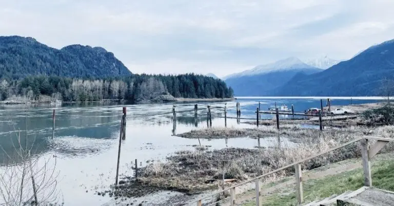
From the boat launch, you paddle slightly west across the Pitt River toward Widgeon Slough. This opening section is the most exposed and, depending on wind and tide, can be the most demanding. On our way out it was manageable. On the way back, it was a different story — more on that shortly.
We borrowed Mark’s parents’ kayaks for this trip, which is a very convenient way to do it. If you don’t have your own, kayaks and canoes are available to rent at the boat launch. People also come through on paddleboards and inflatable boats — whatever gets you across.
Into the Slough
Once you’re off the river and into Widgeon Slough, the water settles. The slough is still wide at this point, but the character shifts immediately — tall marsh grasses line the banks, floating water plants drift across the surface (not quite lily pads, but similar), and herons stand perfectly still at the water’s edge watching you pass with total indifference. Birds move through the reeds. The mountains sit on the horizon. It’s immediately, noticeably peaceful.
At around 2.5 km, the creek forks — take the left channel and continue upstream.
Into the Creek
This is where it gets good.
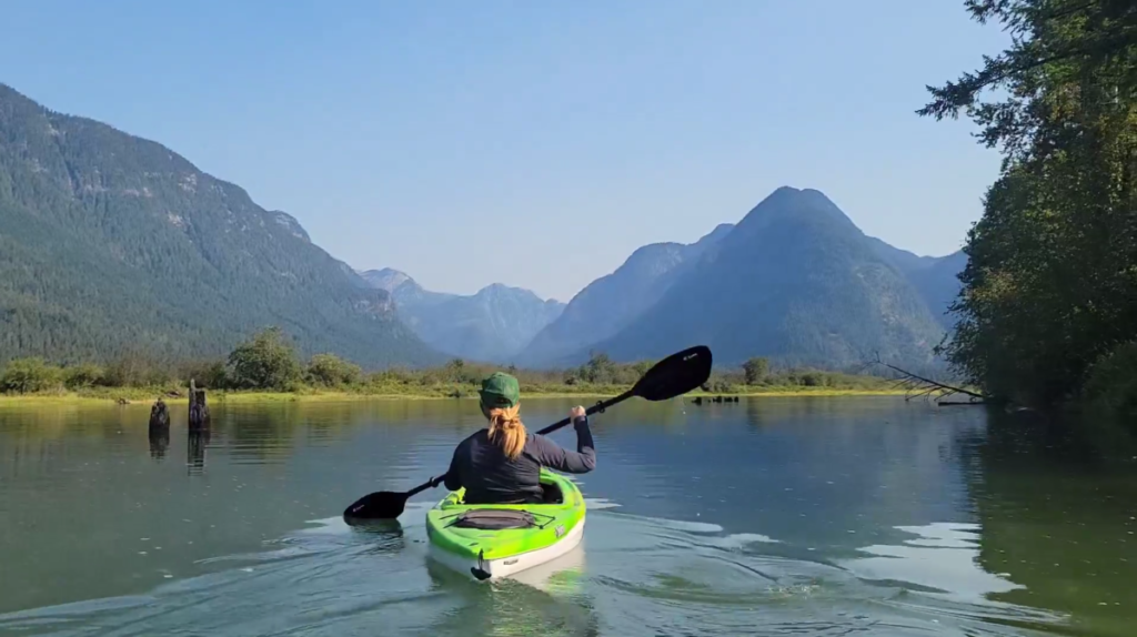
The waterway narrows gradually and then, at some point, you notice it has narrowed considerably — tall grasses rising on either side, your world reduced to the strip of water ahead of you, the sky above, and the mountains rising in the distance. There’s a moment in there, when it really tightens in, where you just stop paddling for a second and take it in. We’d been chatting easily the whole way — the kind of conversation that happens when you’re moving through somewhere beautiful and not paying attention to time — but we also went quiet without discussion, content to be still and in it together.
The water was extraordinarily clear. At points we could see straight to the sandy bottom, and occasionally a flash of fish scales catching the sunlight. We found a good rhythm with the paddles and the rest took care of itself. Continue upstream to the campground landing area, where you’ll pull up and shore your boats.
Hike to the Falls
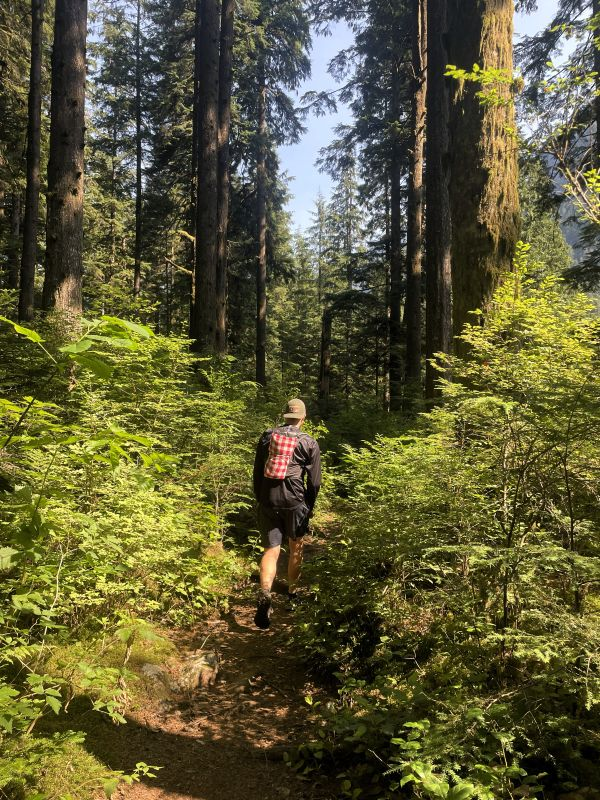
From the campground, it’s a 6.5 km hike out and back to the falls and swimming area. There are two trail options: the Widgeon Falls Lower Trail (which BC Parks recommends avoiding due to unmaintained and slippery sections) and the Widgeon Lake Trail above.
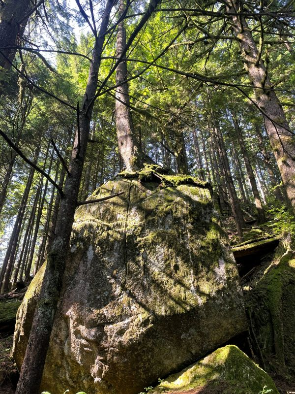
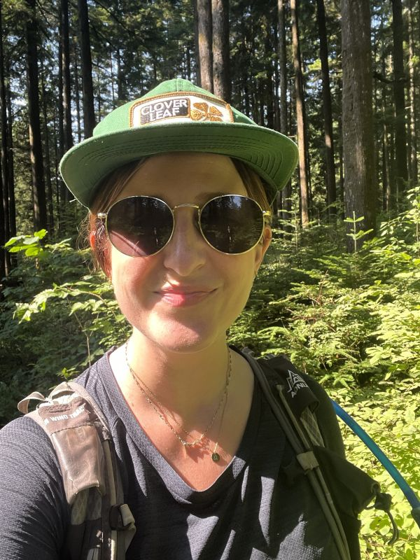
We went in on the lower trail and back on the upper, making it more of a loop. Honestly, neither trail is particularly dramatic — both are classic PNW forest, ferns and moss and tall trees and the smell of pine and dirt, which is its own reward. The lower trail has a steep section down to the creek and some fallen logs to clamber over, nothing out of the ordinary. The trails are lovely without being remarkable, which means your attention stays on the surroundings rather than your footing.
The Falls & Swimming Holes
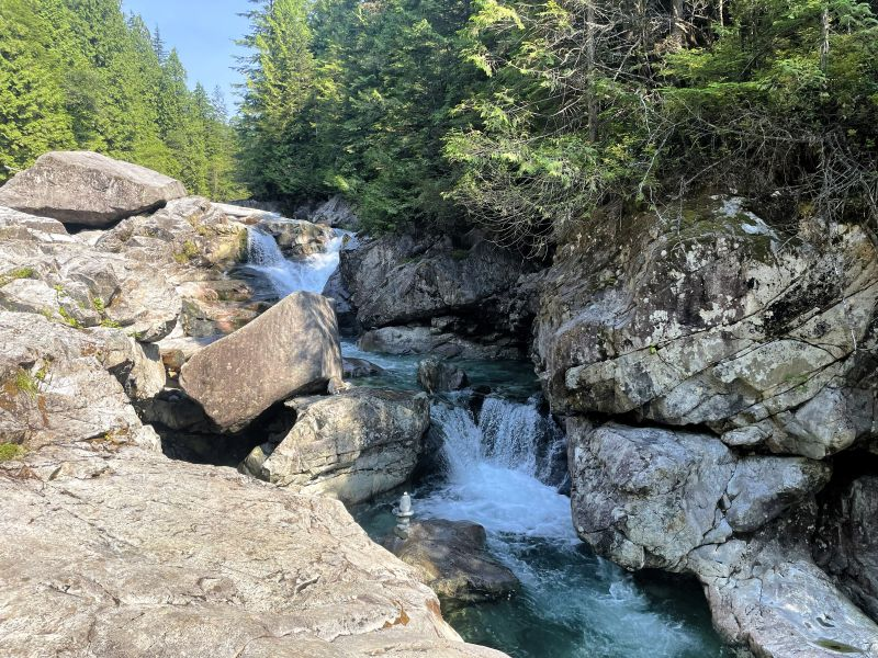
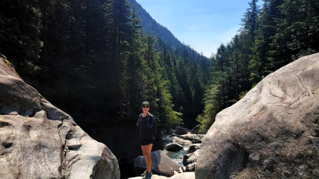
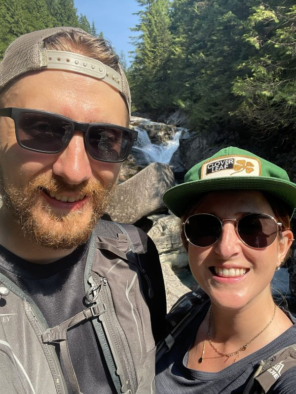
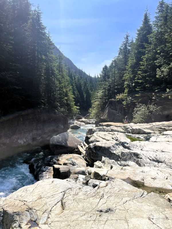
Widgeon Falls is less a tall cascade and more a powerful rush of water over and between large boulders. It’s genuinely beautiful, and you can scramble right up to it, which makes it feel more visceral and immediate than a fall you view from a distance.
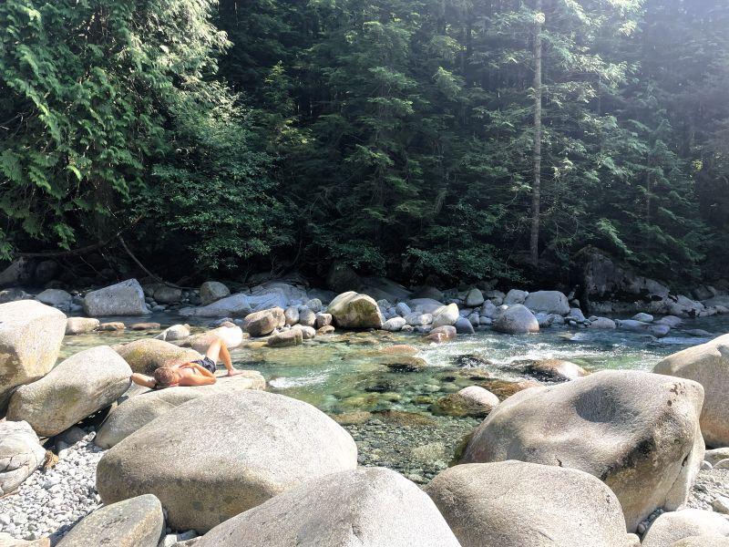
Upstream and downstream, the creek continues through a scatter of large sun-warmed boulders — perfect for lying out, dangling your feet in the water, or getting fully in if you’re brave enough. The water is clear, blue-green, and cold. We’d brought lunch and a tall beer to share, and spent an hour or so cycling between too hot in the sun and too cold in the water, neither of which was a bad problem to have.
Interestingly, the swimming wasn’t really the goal going in — more of a happy side perk of the day. The paddle was the adventure. The falls and the boulders and the cold water were just a very good bonus.
If you want to go further and make this a weekend
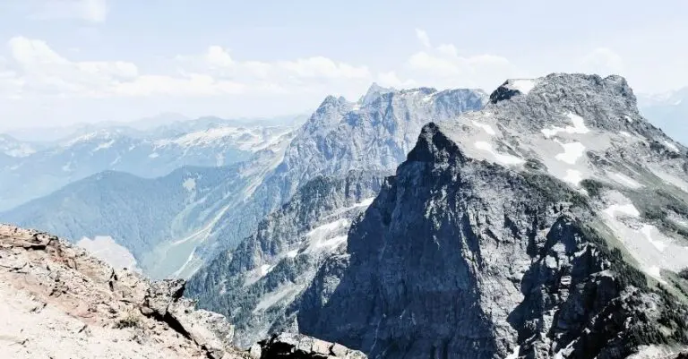
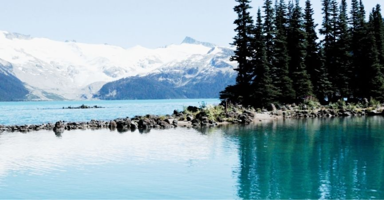
You can extend the day significantly by adding the Widgeon Lake hike — an extra 14 km out and back from the falls (roughly 21 km total from the campsite) with 800 m of additional elevation gain. AllTrails describes the trail as steep, rugged, and sometimes overgrown, climbing over rocks and roots. This is proper backcountry — go prepared, and plan to camp at least one night. The lake itself is a glacial alpine lake with limited accessibility, which means it’s quiet and stunning in equal measure. AllTrails route map here
The Return — That Current
I’ll mention this here because it’s worth knowing before you go: the return crossing of the Pitt River can catch you off guard. The current was noticeably stronger on the way back, and more than once, I’d look up from paddling to realize I’d drifted closer to shore but further from the landing area. It felt like a proper battle — paddling hard, making what felt like no progress, recalibrating. The trick is to angle your approach rather than paddling straight at the target — aim upstream of your destination and let the current work with you rather than against you. We weren’t the only ones navigating this; there were plenty of other paddlers doing the same sideways shuffle across the river. Just know it’s coming and don’t be surprised when it does.
TIPS FOR THE DAY
- Dry bag: Non-negotiable. Your gear will thank you, especially if the crossing gets choppy.
- Layer up. It was noticeably cooler and windier on the return paddle — what felt fine on the way out felt fresh on the way back. Bring a layer you can access easily from the kayak.
- Sunscreen. You’re on open water for a chunk of this and there’s no shade on the river crossing.
- Water and snacks. It’s a full day out with a paddle and a hike — treat it like one.
- The current on the way back is real. Angle your approach to the landing rather than paddling straight at it. Everyone figures this out eventually; better to know ahead.
- Tides technically matter, but realistically — if you’ve planned to go, you’re going. Just be aware that conditions on the Pitt River can vary.
- Traffic at the landing: There can be a bit of a bottleneck at the campsite dock with people arriving and departing at similar times. Be patient, be friendly, and wait for your turn.
- Camping: First come, first served at Widgeon Creek Campground. If an overnight is part of your plan, get there early.
Pin me for later