Admiralty Point Trail & Belcarra Bluffs Hike: Big Coastal Views
Shockingly, I’d never been to Belcarra before this hike. The closest I’d come was Buntzen Lake and the Port Moody inlet — and somehow this tucked-away corner of Metro Vancouver had stayed off my radar entirely. I don’t have a great explanation for that. Belcarra is one of the most beautiful and underrated outdoor areas in the region, and the moment you arrive you wonder why you hadn’t been sooner.
Although many people associate it with Port Moody — it sits just north of the city — Belcarra is actually its own tiny village, nestled along the shores of Indian Arm and Bedwell Bay. One road in and out, a handful of beaches and trails, and the particular quality of a place that hasn’t fully been discovered yet, even though it’s been there all along.
This post is specifically about the Admiralty Point and Belcarra Bluffs loop — a trail that delivers one of the most encompassing coastal views in Metro Vancouver from a bluff that almost no one seems to know about.
Admiralty Point & Belcarra Bluffs Hike Stats
| Location | Belcarra Regional Park, Metro Vancouver, BC |
| Distance | 8.25 km |
| Total elevation | 356 m |
| Time | 2-3 hours |
| Type | Loop |
| Terrain | Gravel path, dirt trail with roots, rocks, and overgrown sections |
| Difficulty | Moderate — easy on the Admiralty trail, tougher on the unmaintained Bluffs section |
| Best for | Solo hikers, PNW trail lovers, anyone who wants a quieter alternative to the busy Belcarra beaches |
| Good to know | The Belcarra Bluffs trail is unmarked and unmaintained — have AllTrails or a downloaded map open before you start the Bluffs section |
| AllTrails Route | Belcarra Bluffs and Admiralty Point Trail |
Getting There
Belcarra Regional Park is accessed via Bedwell Bay Road — one road in, one road out. It’s not on the way to anything else, which is part of why it stays quieter than it deserves to be, and part of why parking fills faster than you’d expect on sunny weekends.
I arrived around 10:30 am on a sunny Sunday in June and got one of the last non-overflow spots. By the time I left at midday, the traffic lines to get into Belcarra — and over to Buntzen Lake — were long. Go early, or avoid weekends entirely. Spring and fall are the quietest seasons and arguably the best for hiking.
Parking is pay parking. The 182 bus from Moody Centre provides transit access if you’d rather skip the car.
About Belcarra
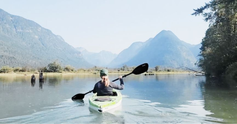
Beyond the hiking, Belcarra has a lot going on — and I’ll be back for more of it. The sheltered waters of Indian Arm make it ideal for kayaking, paddleboarding, boating, crabbing, and fishing. The protected coastline and small islands create calm paddling conditions compared with more exposed parts of the coast — kayaking up Indian Arm from the beach here is on my list for a return trip.
For swimming, the area has both ocean and freshwater options: White Pine Beach on Sasamat Lake, the Belcarra Picnic Area shoreline, Bedwell Bay, and rocky coves along the park. Summer weekends get busy — particularly near Jug Island and White Pine Beach, where parking fills early.
The Trail
Springboard Trail → Admiralty Point Trail
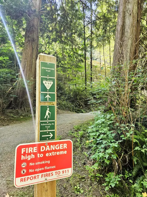
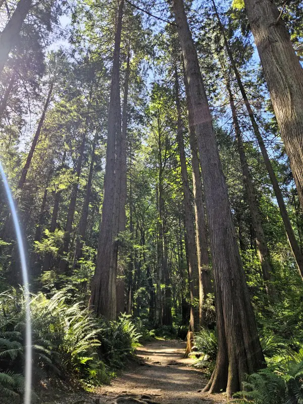
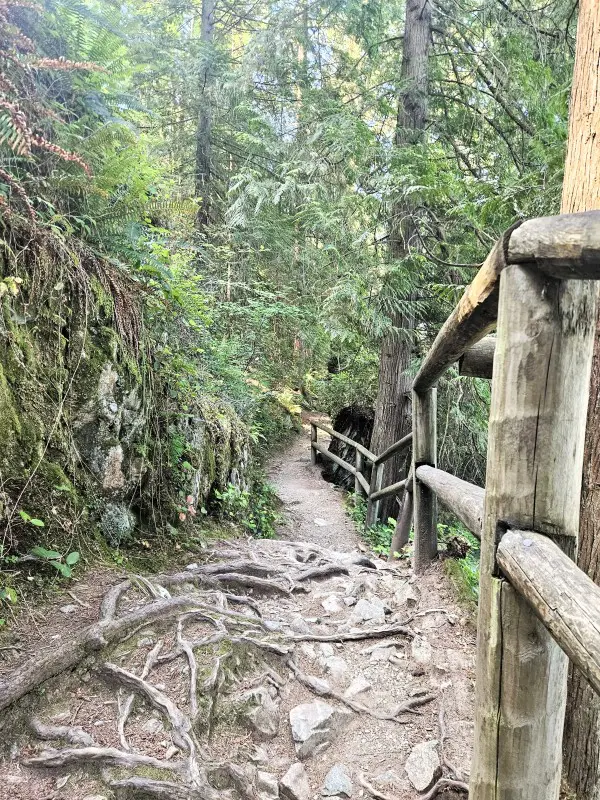
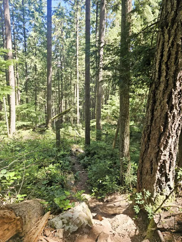
The loop starts on the Springboard Trail, a wide gravel bike path, before quickly connecting to the Admiralty Point Trail. From here the character shifts — you’re on a dirt trail through classic PNW forest, tall trees above, ferns at knee height, the smell of dry pine mixing with the briny edge of ocean air drifting up from the inlet below.
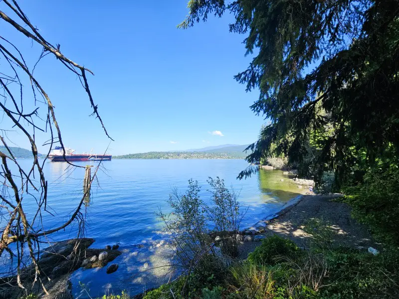
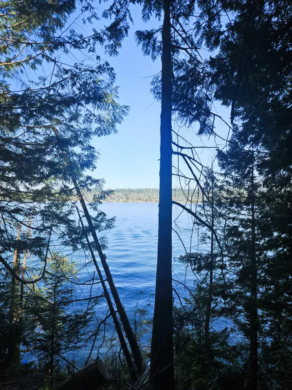
The Admiralty Point Trail runs along the edge of the Belcarra Peninsula, offering views of Burrard Inlet extending toward Indian Arm — a glacial fjord reaching north — with North Vancouver’s mountain range to the northwest and Burnaby to the southwest, Vancouver itself visible in the distance on a clear day. The trail is well-maintained and relatively easy, though there are sections that require navigating knots of tree roots and stepping up granite boulders. You get glimpses of water through the trees between the more open viewpoints, which keeps the anticipation building between the bigger views.
Along the way: Cod Rock, a granite outcrop with its own inlet views, and Maple Beach, a sandy-rocky mixed beach that functions as a quieter alternative to Belcarra’s busier swimming spots. If you want a beach day without the crowds, a towel on Maple Beach is worth considering.
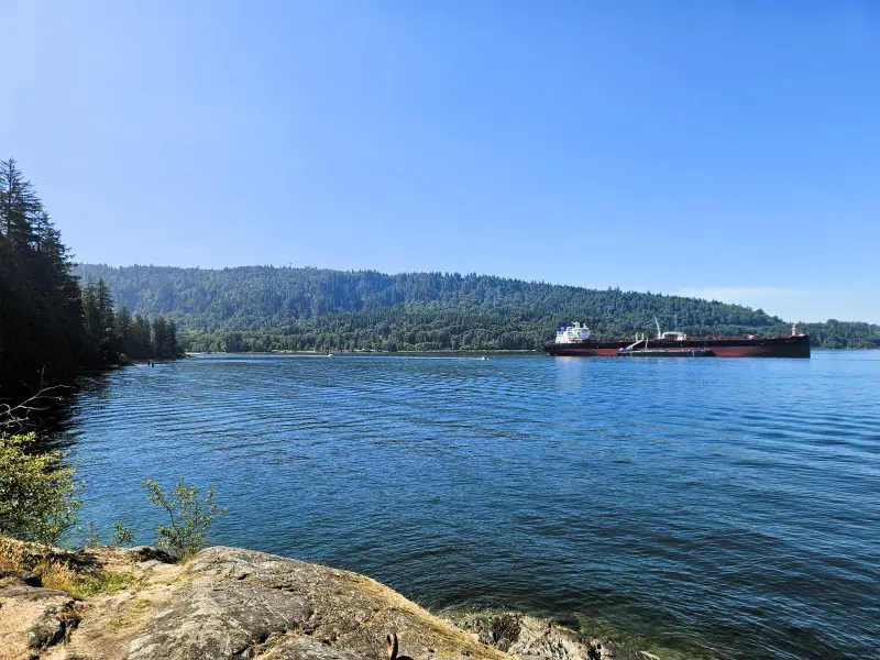
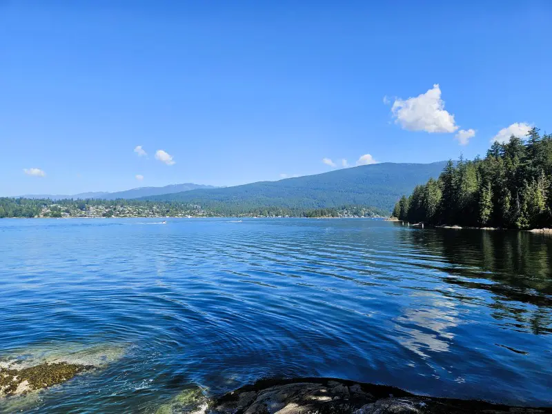
Admiralty Point itself is a rocky outcrop jutting out from the trail with a 270-degree view of the area — Burrard Inlet, Indian Arm, the North Shore mountains, Burnaby’s shoreline. It’s the natural stopping point on the lower trail, and a good preview of what the bluffs above are going to show you at a higher elevation.
Belcarra Bluffs — The Unmarked Section
Here’s where the trail gets more interesting, and where the map becomes non-negotiable.
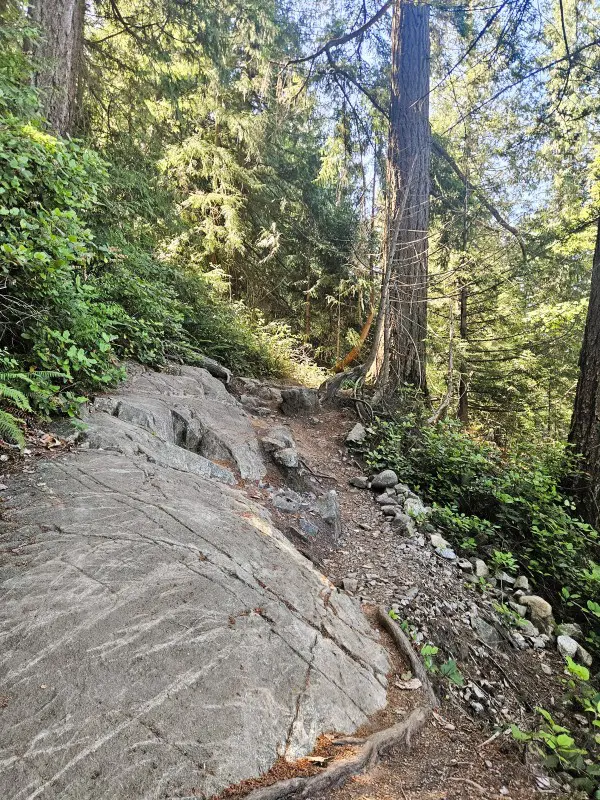
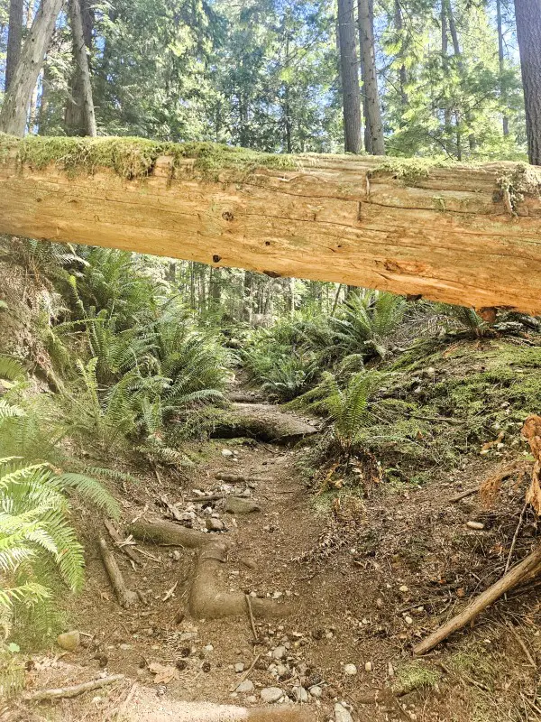
The Belcarra Bluffs trail branches inland from the Admiralty Point Trail. It’s technically unnamed and unmaintained — which means no signs, no markers, and in June, sections that were actively being reclaimed by ferns and underbrush. I had AllTrails open throughout, and I’d recommend doing the same; the junction is visible enough, but once you’re in the overgrown sections, the trail occasionally presents options that look equally plausible and aren’t.
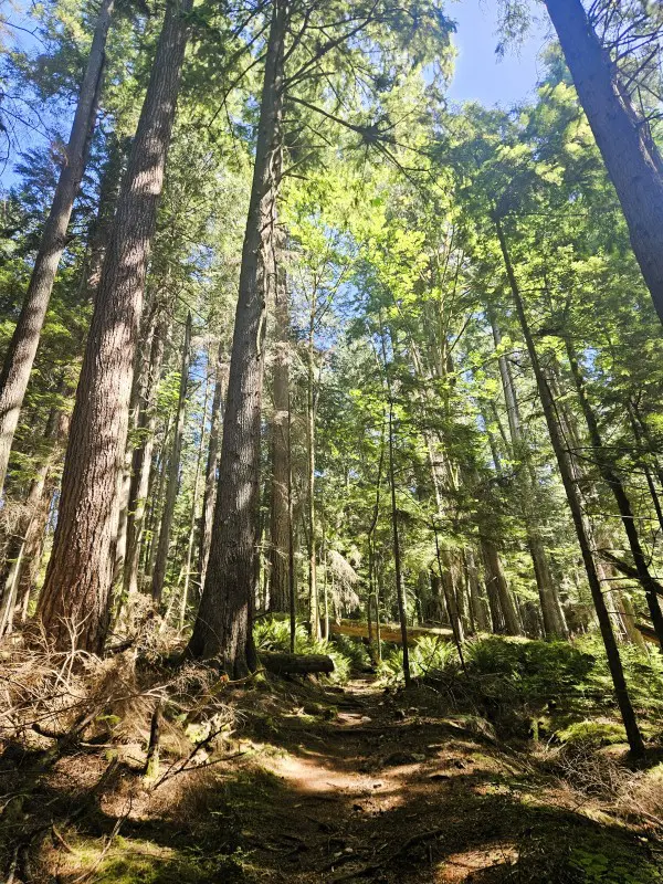
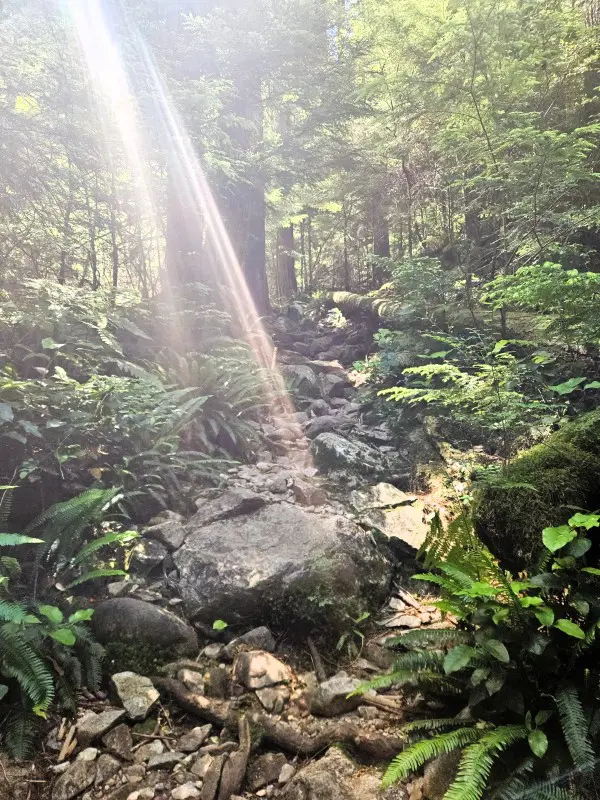
The elevation gain happens here, and it happens gradually enough that you feel it before you see it on the map — you notice you’re warmer, breathing a little harder, and then you check the elevation profile, and it makes sense. On a hot June day, I was grateful for the tree cover, which held for the entire hike. There are pockets where sunlight breaks through and lights up sections of fern and moss in that particular way PNW forests do — green almost glowing against the darker understory.
The trail was quiet in a way the Admiralty section wasn’t. Stretches of twenty minutes without seeing another person, after the busy parking lot and the well-trafficked lower trail. That quietness is part of the appeal and part of what occasionally nudged me into mild unease — an overgrown section, a fork with no obvious answer, the awareness that the trail looked genuinely unused. I made some noise. The feeling passed. This is mostly just the honest experience of hiking an unmarked trail solo: mostly fun, occasionally unsettling, always fine in the end. The important thing — and the one piece of advice I’d give to anyone doing this alone — is to make sure someone knows where you went and when to expect to hear from you.
There are switchbacks on the map that you don’t particularly register while you’re doing them, which is the best kind of trail design.
The Bluffs
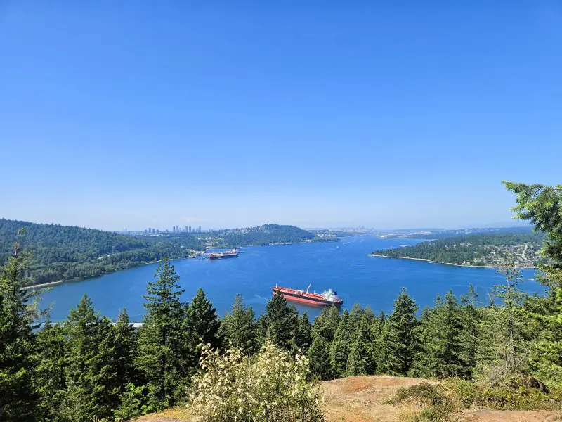
The path to the bluffs forks left. The view is initially obstructed — a bush, then a few more steps, and then you step out onto open rock, and it opens up all at once.
It was an oh wow moment. The kind where you stop walking mid-step.
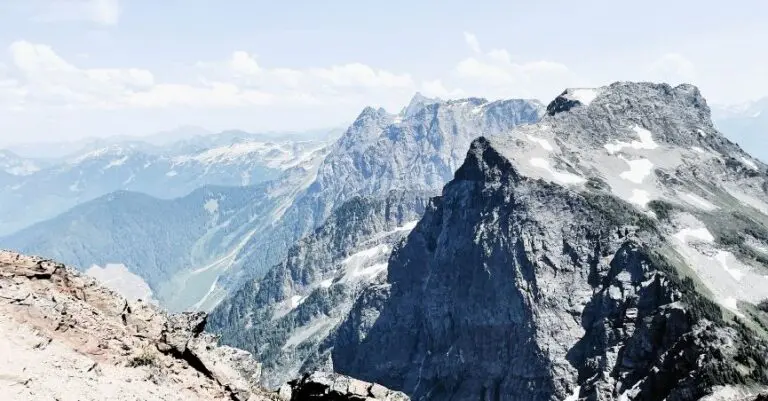
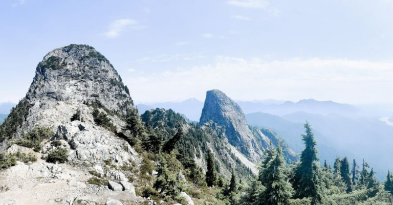
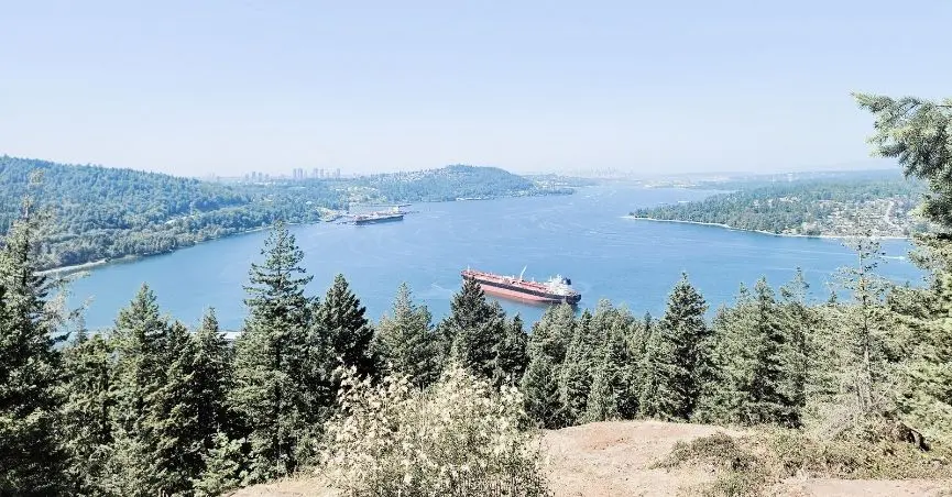
The view from the bluffs is everything you saw from Admiralty Point below, but now you have the elevation — an overhead perspective that makes the curve of the terrain, the inlet, the mountains, and the ships moving through the water all cohere into something more encompassing. Big container ships in the inlet. The fjord reaching back into the mountains. North Shore peaks from above the treeline. I stood there thinking: people are missing out on this. I don’t know if I’ve ever seen this view on social media or as anyone’s “iconic Metro Vancouver” photograph — but it should be.
There were two other groups on the bluffs when I arrived. That was it.
It was too hot to stay long in the open sun, but with a shady spot to claim, this would be an excellent place to eat lunch. Noted for next time.
The Descent and Back to the Springboard Trail
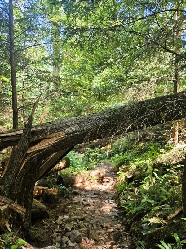
Back to the fork, then continuing inland. The trail narrows further and the overgrowth increases — this section requires more deliberate movement than anything earlier in the loop. The rocky descent in particular called for purposeful foot placement: I got low, used my hands on the steeper sections, moved slowly. Not strenuous, but not autopilot either. There were a few moments where the route looked uncertain enough that I checked the map, confirmed I was on track, and carried on.
And then, abruptly, the narrow overgrown path opens onto a wide paved surface — the Springboard Trail again. The mild relief of that moment (yes, I did find my way out; no, I wasn’t actually lost) is its own small reward after an hour on unmarked terrain.
The final kilometre follows the Springboard Trail back to the trailhead: open, tree-lined, gradually transitioning back to the parking lot and the rest of the world. A good decompression stretch after the quieter sections.
What I’d Do Differently / Add Next Time
I had planned to add the Jug Island walk but ran out of time. That’s the first addition on a return trip — along with arriving earlier to guarantee parking, and perhaps timing it for a cooler day so the bluffs are worth sitting on long enough to eat something.
Practical Tips
Have a map downloaded before you start the Bluffs section. The trail is genuinely unmarked — not “fewer signs than usual” unmarked, but no signs at all. AllTrails works well; just make sure it’s accessible offline in case signal drops.
Go early or on a weekday. I arrived at 10:30 am on a Sunday in June and got one of the last non-overflow spots. By midday, the traffic lines to get into the area were long. Spring and fall are the quietest seasons and excellent for hiking.
Tell someone your plan. Standard solo hiking advice, but worth repeating for an unmaintained trail: let someone know where you’re going and when to expect to hear from you.
Parking is paid. Bring change or a card. Transit is an option. The 182 bus from Moody Centre serves the area — useful if parking is a concern on busy summer weekends.
Maple Beach is a quieter swimming alternative. If the main beaches are packed, Maple Beach along the Admiralty Point trail is a sandy-rocky option that sees significantly less traffic.
Pin me for later
You might like these other BC Hiking posts: