Medium Cycle: Pitt River Dyke & Pitt-Addington Marsh Gravel Cycle
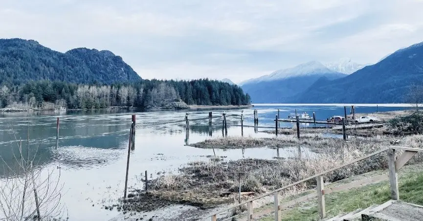
There’s a moment on the Pitt River East Dyke when the mountains stop being background and become the whole picture. They loom up ahead of you — close enough to feel immediate, still far enough to be dramatic — framing a pocket of marsh, river, and farmland that somehow exists less than an hour from Vancouver. If it’s your first time riding out to the Pitt Lake area, that view is going to catch you off guard. It caught me off guard, and does every time I return.
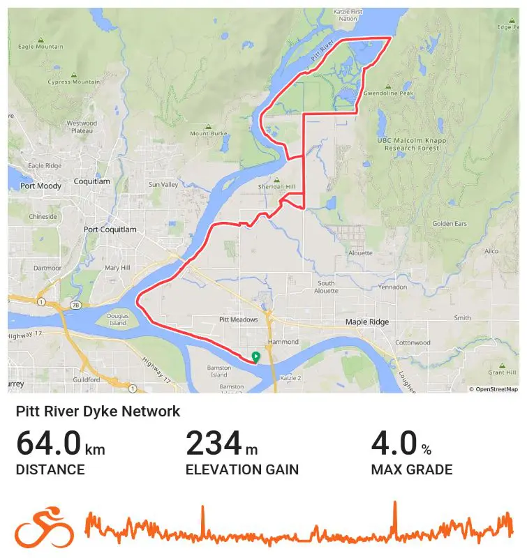
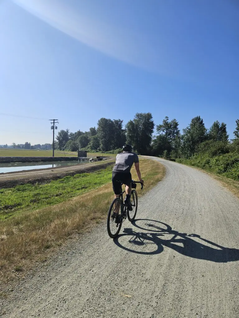
This Pitt River Dyke route is mostly flat, mostly gravel, and almost entirely away from anything resembling a busy road. That combination of remote-feeling terrain and genuinely stunning scenery is exactly why we keep coming back, even knowing the road section along Rannie Road is going to rattle our teeth.
Pitt River Dyke Route Summary
Start: Waterfront Commons Park, Pitt Meadows
Distance: 64 km (40 miles)
Elevation Gain: 235 m (755 feet)
Terrain: ~75% unpaved / 25% paved
Type: Out and back with a loop
Time: 3–5 hours
Pre-ride: Stomping Grounds Café at Waterfront Commons Park
Mid-ride facilities: Picnic tables and outhouses near the Pitt River boat launch
A Bit of Background
The Pitt Meadows area sits in the floodplain between the Fraser and Pitt Rivers, and the dyke system here is the reason that farmland exists at all. Dyke construction in the region dates back to the late 1800s, when settlers began the slow work of reclaiming low-lying agricultural land from seasonal flooding. Today, those same dykes — raised, grassed-over paths running along rivers and marshes — make for some of the best flat cycling in the Lower Mainland.
The Pitt-Addington Marsh Wildlife Management Area, which you’ll loop around on the eastern half of this ride, is one of the largest freshwater marshes in BC and an important habitat for migratory birds, raptors, and waterfowl. Turtles, apparently, also live here. Mark will never let me forget that I nearly rode into him while he was stopped, crouched over the side of the dyke, losing his mind about one.
The Ride
Pitt River Regional Greenway
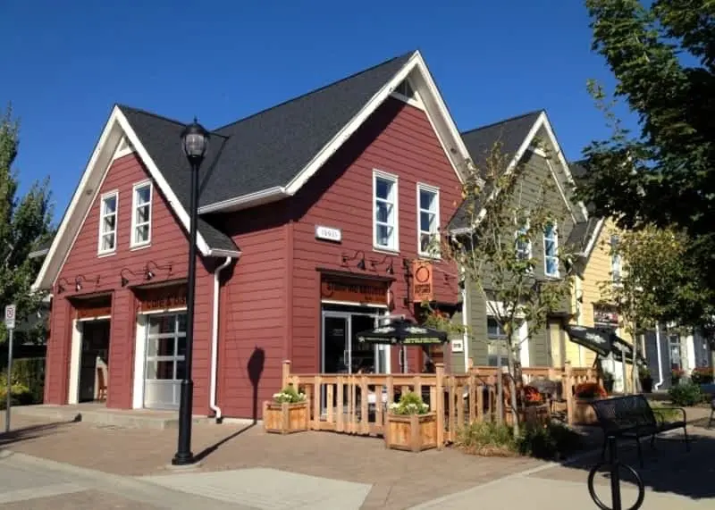
Start at Waterfront Commons Park in Pitt Meadows — and stop at Stomping Grounds Café before you leave. It’s right there at the trailhead; the pastries are good, and you’ll want something in your stomach. (More on fuelling in a minute. This matters more than you think.)
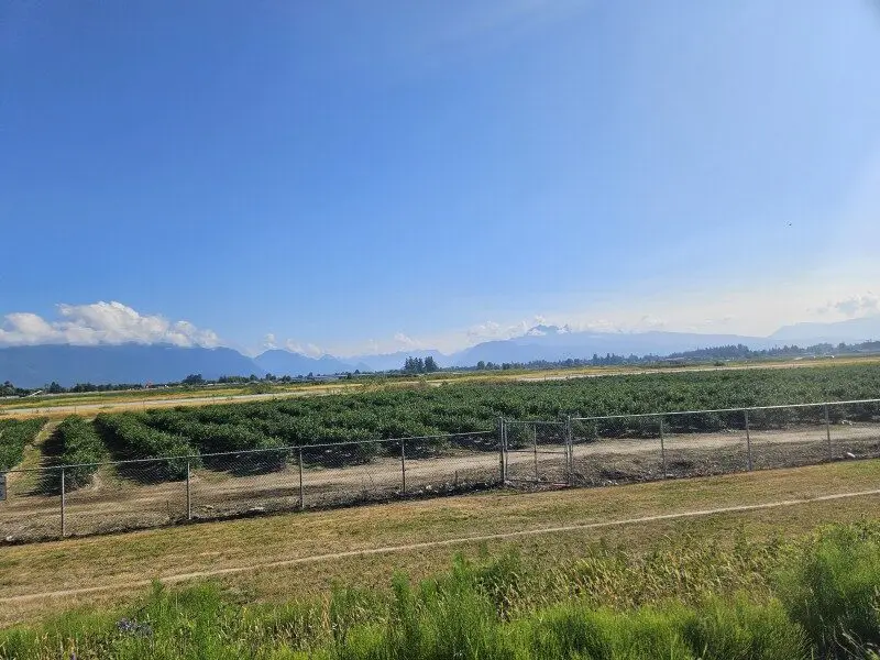
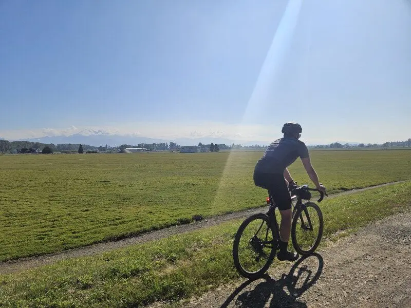
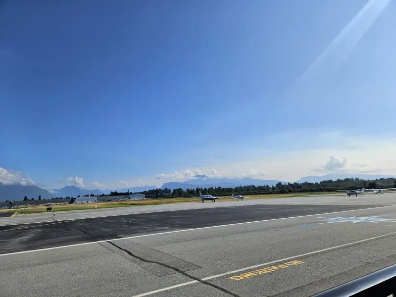
From the park, the Pitt River Regional Greenway takes you along the Fraser River before connecting up to the dyke, which winds past the Pitt Meadows Airport and out into open farmland. It’s a lovely opening stretch — big skies, flat riding, and the gradual sense that you’re leaving the city behind. Up ahead is where the Fraser and Pitt Rivers meet, and from there, you follow the Pitt River north.
South Alouette River Dyke Trail
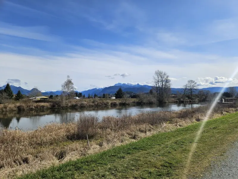
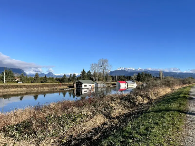
After passing under the Pitt River Bridge, the route picks up the South Alouette River Dyke Trail — a raised path running alongside the Pitt River that starts to head back inland, following the smaller Alouette River. It’s quieter here. Depending on the season, you may spot people kayaking, paddleboarding, or canoeing on the water below. Cross at the first bridge and continue east and north along the Alouette Pitt River Trail. The path winds with the river, and the riding is easy — the kind of stretch where it’s easy to forget how far you’ve gone.
A Brief, Bumpy Bit of Road
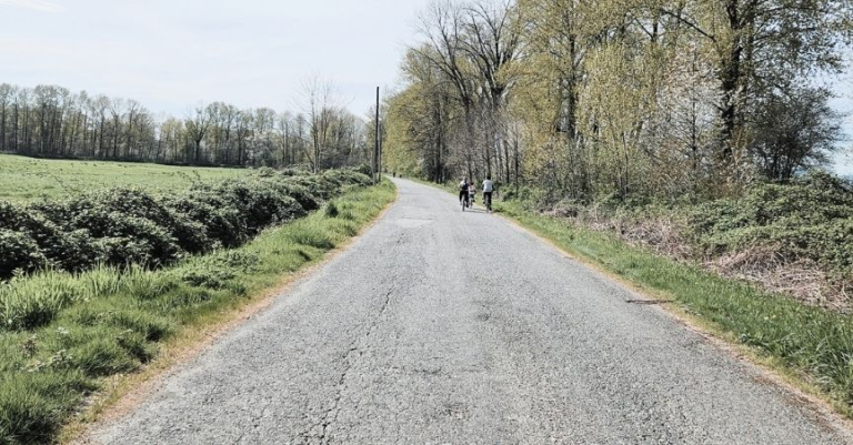
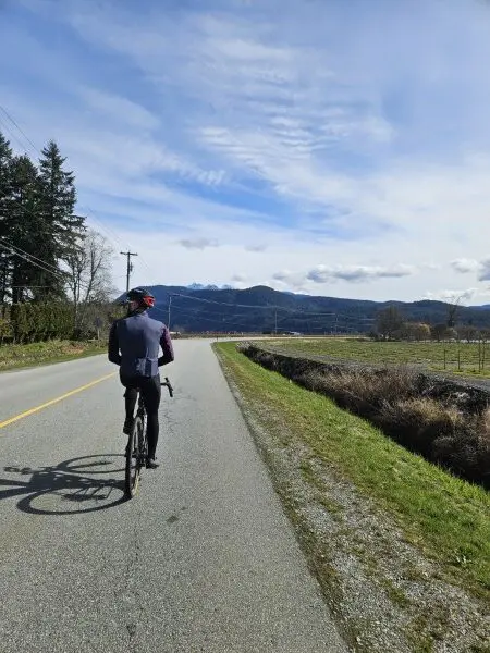
Where the route meets MacNeil Road, shift onto the pavement and follow it north to Rannie Road toward the Pitt Lake recreation area. There are no shoulders, so you’re riding the road itself. It can be bumpy. Actually, bumpy is generous — it’s cracked, patchy, and full of potholes that make your head feel like it’s vibrating independently from your body. There’s no way around it, but the good news is traffic is usually light enough that cars can get past you without issue, and it’s only about 2 km before you cross the bridge over a large slough and can escape back onto the dyke. You will feel genuine relief when you do.
Pitt River East Dyke & the Pitt-Addington Marsh Loop
This is what you came for.
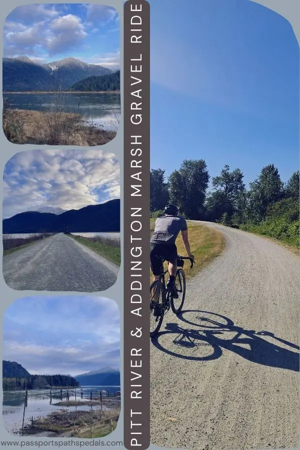
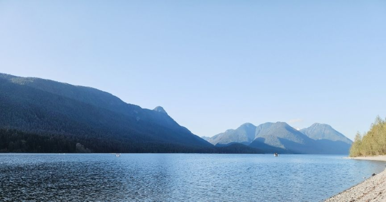
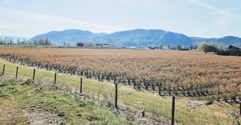
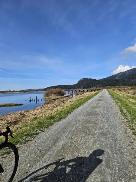
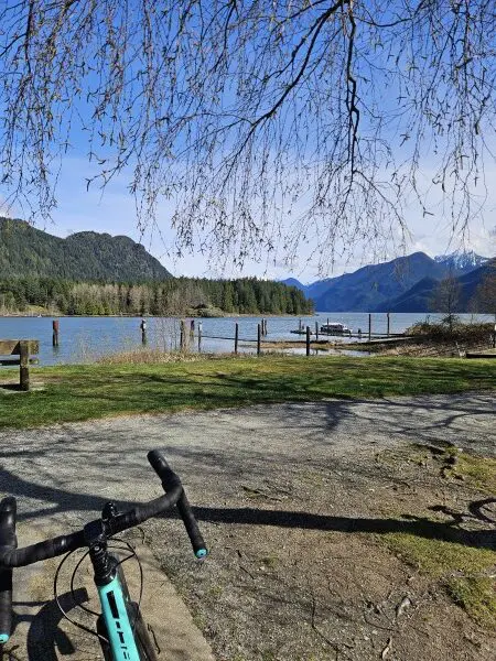
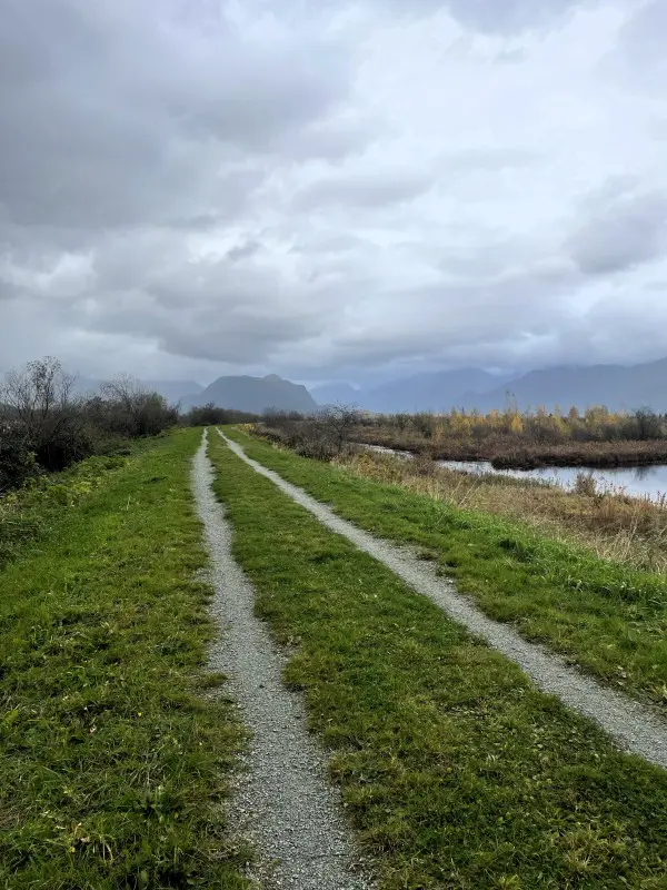
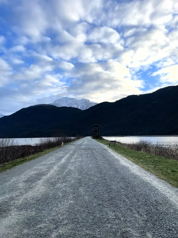
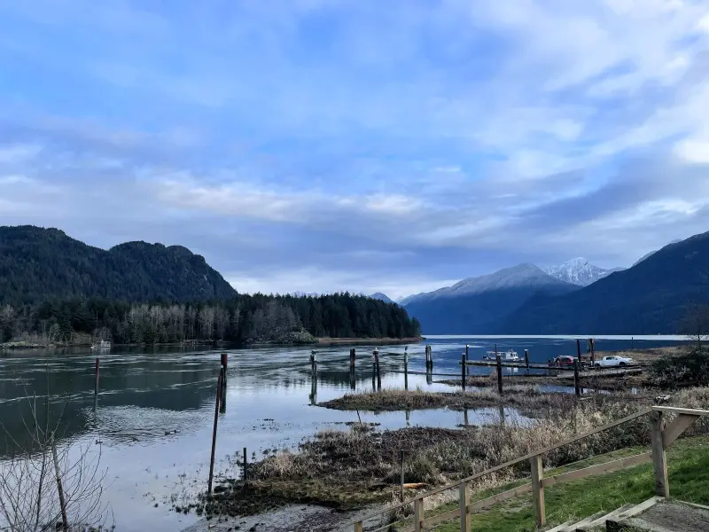
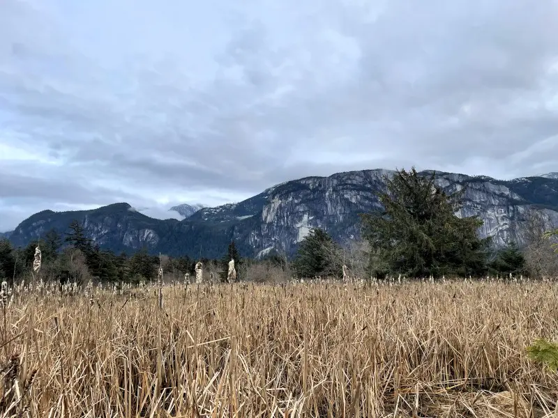
The Pitt River East Dyke traces a roughly 20 km loop around the Pitt-Addington Marsh Wildlife Management Area, and the mountains are in front of you almost the entire time. If it’s your first time out here, be prepared to be wow’d for most of the ride. The peaks feel close in a way that doesn’t quite make sense given how far you are from them — they just loom, massive and immediate, over a foreground of marsh and river and open farmland. The view doesn’t get old. It actually gets better the further along you go.
It’s quiet out here, too. There are stretches where you won’t see another person for a while, which feels increasingly rare on Lower Mainland trails.
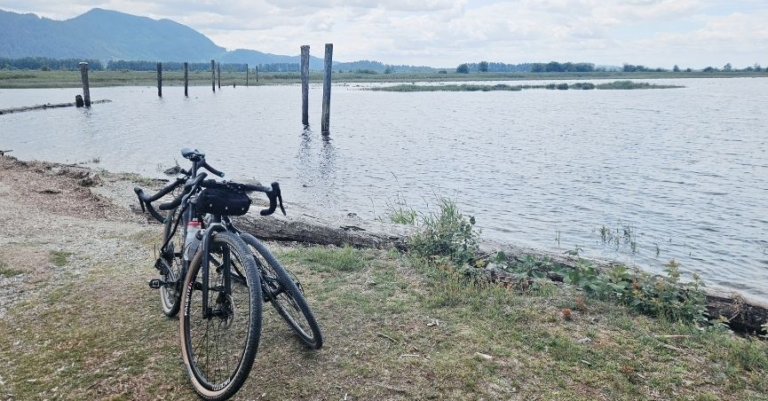
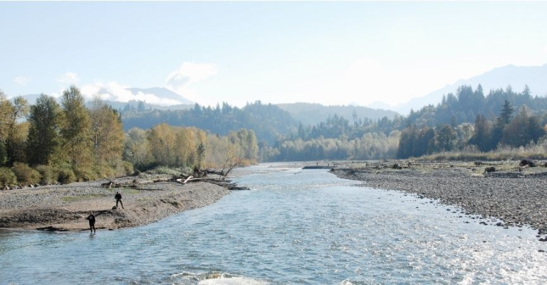
Halfway around, you’ll reach the boat launch area — picnic tables, outhouses, and one of the better mid-ride views you’ll find near Vancouver. Stop here. Eat something. Look around. This is also where Mark and I got our engagement photos taken, chosen not because we planned it specifically but because I’d ridden out here and found it so beautiful I couldn’t imagine a more fitting backdrop. On the day of our shoot, there was another couple doing the same thing nearby. The spot chooses you a little bit.
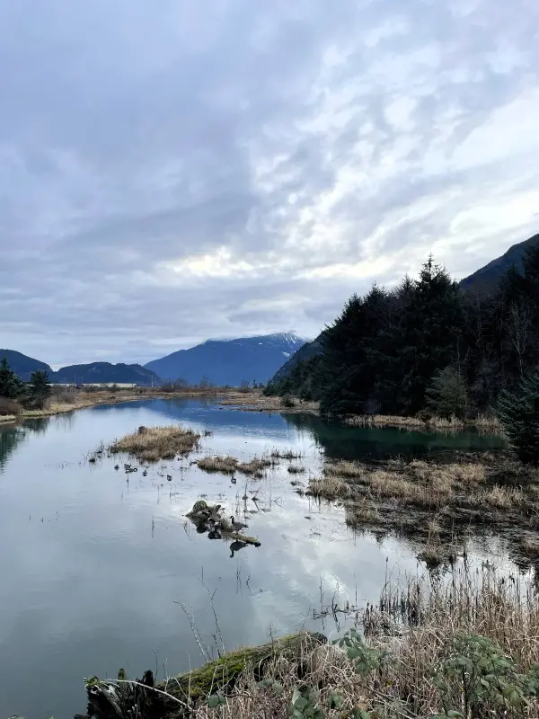
Keep going on the gravel Pitt Lake Dyke that separates the Katzie Marsh area from the Lake. Go as far as you can, then take the trail to the right that goes south beside the marsh. It’s called the Swan Dyke. This section is more dirt trail and can be overgrown. There are fewer people down this way. You can see lots of wildlife in the marsh. This is where Mark spotted a turtle in the grasses – so excited he suddenly stopped, and I nearly crashed into him (Mark, not the turtle). Keep going south until you cannot anymore. Turn right; this part of the dyke eventually connects up to Koerner Road.
The Return
You could loop back up toward the boat launch via the Crane Dyke, but this puts you further up Rannie Road, adding more distance and more of the rough, cracked pavement that is less than enjoyable to ride. Instead, continue on Koerner Road, turn left onto Rannie Road, then take the same dyke route back.
This ride is good for most seasons, though it can get muddy after lots of rain. On one return trip, we’d started the morning with mildly cloudy skies that kept getting darker the further along the marsh loop we went. By the time we turned back, it was raining, then properly downpouring, with nowhere to go and nothing to do but laugh and keep pedalling. We made it back to the car completely soaked, mud up our backs, and in my hair. Still a good ride.
Tips for the ride
- Pack more food than you think you need. Gravel riding burns energy differently than road riding — the uneven surface keeps your muscles working harder even on flat terrain. There are no easy access cafes or convenience stores, and no bail-out options once you’re out on the dyke. Aim to eat something every hour, and bring more than that. I learned this the slightly painful way when I started feeling the early signs of bonking on the back half, and Mark had to share his snacks with me. He was very gracious about it. Pack your own.
- Water too. Same principle. Carry more than you think is reasonable, especially in hot weather.
- Bike type: A gravel bike is ideal. The bigger, cushier tires will make the bumpiness smoother. The dyke paths are in generally good condition, but road tires will feel punishing at this distance on gravel.
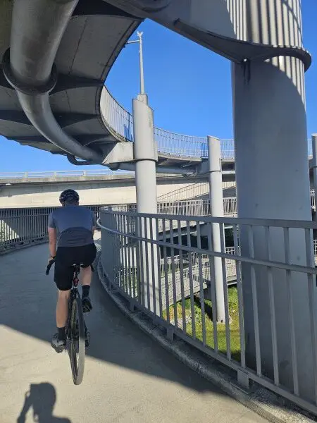
- Starting point options: Waterfront Commons Park is a lovely, easy start. If you want a bigger day, riding from Fort Langley adds roughly 15 km total. You have to cross Golden Ears Bridge. The riding is not particularly scenic, and it’s road riding – you are mostly gaining kilometres by adding this on. We only do it because it’s closer to home.
- Wildlife: Keep your eyes open on the marsh loop, especially at the edges of the dyke. Herons, eagles, migratory birds — and apparently turtles, if you’re paying more attention than I was.
Pin me for later