Algarve Cliff Walks: 5 Routes along Portugal’s Dramatic Coastline
I’ve hiked in rainforests, along alpine ridges, and through old-growth coastal forests in BC. The Algarve cliff walks are something else entirely. There are no tall trees here. Just low-lying shrubs, cacti, and salt-hardy plants clinging to the clifftops — species that have made their peace with the heat, the wind, and the constant salt spray. The smell is different too: not the green pine-and-cedar scent of a BC forest, just hot air and a faint saltiness drifting up from the water below. And underneath everything, always — the crash of waves on the limestone, even when the sea looks calm from above.
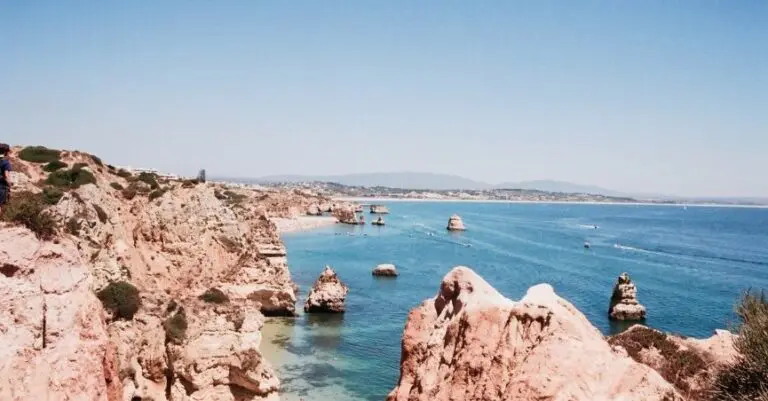
The Algarve’s coastline is one of those places where the views genuinely never get old. Every turn reveals another arch, another hidden cove, another stretch of turquoise water against golden rock. I walked five cliff routes across two separate trips — one based in Lagos, one in Albufeira — and came back both times wanting more.
This post covers all five, with honest notes on what to expect, what surprised me, and which ones to prioritize if you’re short on time.
Ponta da Piedade, Lagos: Easy clifftop boardwalks past Lagos’s best beaches, leading to golden limestone arches and sea caves that are even better from a boat below.
Seven Hanging Valleys: The Algarve’s most iconic coastal trail — turquoise water, limestone arches, and seven dramatic cliff ravines with Benagil Cave as the unmissable centrepiece.
Albufeira Marina Loop: Golden cliffs, hidden coves, and rock formations straight out of a postcard — including one with a heart naturally eroded through its centre.
Telheiro to Ponta Ruiva: The southwest coast’s wilder side — ancient geology, heavier Atlantic swells, and cliffs that feel more like Ireland than the Algarve.
Sagres Fortress + Coastal Walk: Start inside a 15th-century fortress at the edge of the known world, then follow sheer red cliffs south — bring a windbreaker and secure your hat.
Two Trips, Two Bases
Trip 1 — Lagos (3 nights): I was between friends on this one — a friend had headed home, and I was meeting another in Paris a few days later. Rather than fill the gap with a city, I chose the Algarve. I’m glad I did. Lagos makes an excellent base for the western Algarve and gave me easy access to both the Ponta da Piedade walk and the Sagres day trip. I kept to daytime exploring — Lagos has a party reputation, and I was solo, so I made sensible choices about evenings — but I never felt unsafe and had a genuinely lovely few days on my own.
Trip 2 — Albufeira (3 nights): The second trip was with a travel friend and covered the central Algarve — the Seven Hanging Valleys and the Albufeira Marina loop. The coast around here is the most photographed in the Algarve, and for good reason.
The Five Walks
1. Ponta da Piedade Cliff Walk, Lagos
Distance
Elevation Gain
Type
Start/End
Midpoint
Difficulty
Terrain
Route
7.75 km (4.8 mi)
150 m (492 ft)
out and back
Marina de Lagos
Ponta da Piedade Lighthouse
Easy
Boardwalks, paved paths and some cliff steps
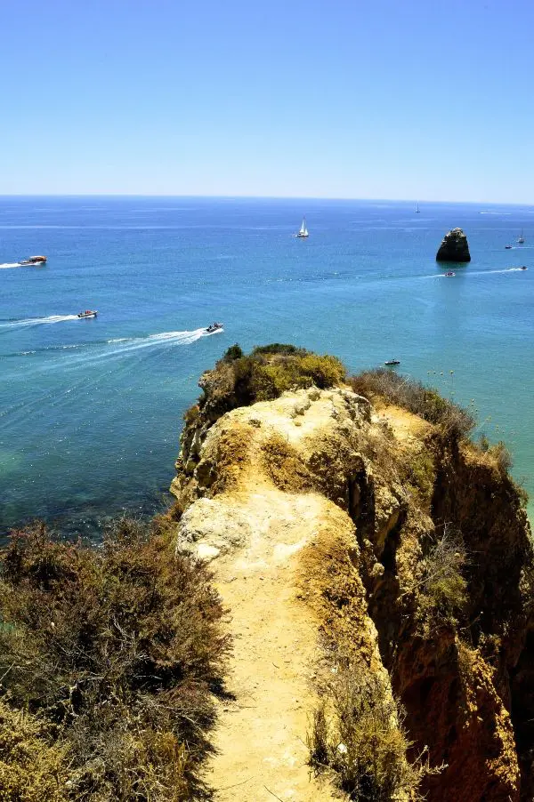
If you’re based in Lagos and only do one walk, make it this one.
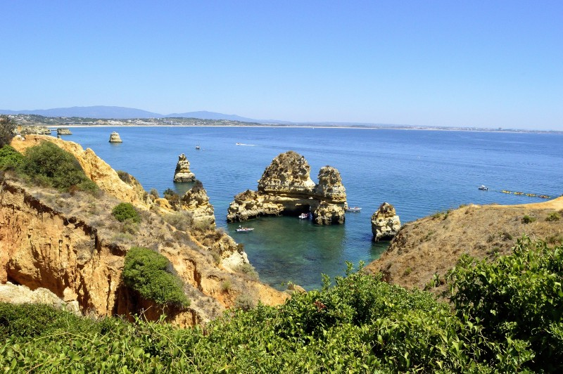
The route starts at the Marina de Lagos and follows the coastline through several of Lagos’s beaches — Batata, Pinhão, and Dona Ana — before reaching the headland at Ponta da Piedade. The walking is easy, mostly on boardwalks and well-maintained paths along the clifftop, which means you can spend your energy looking at the view rather than watching your feet.
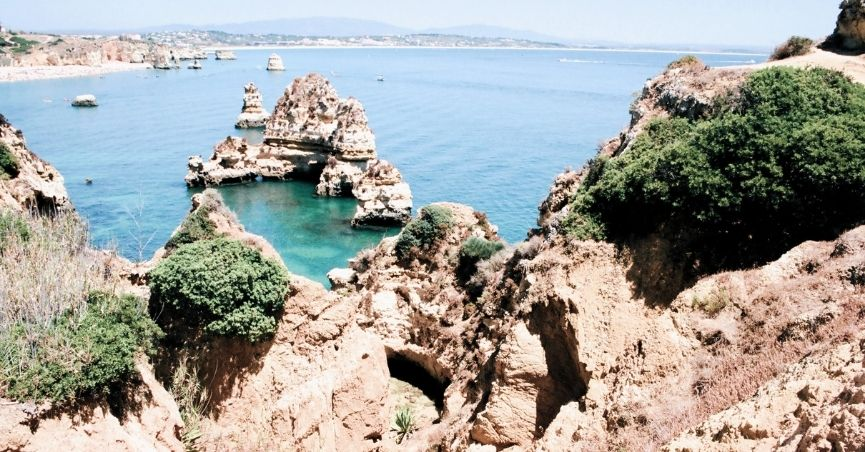
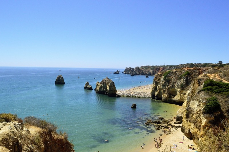
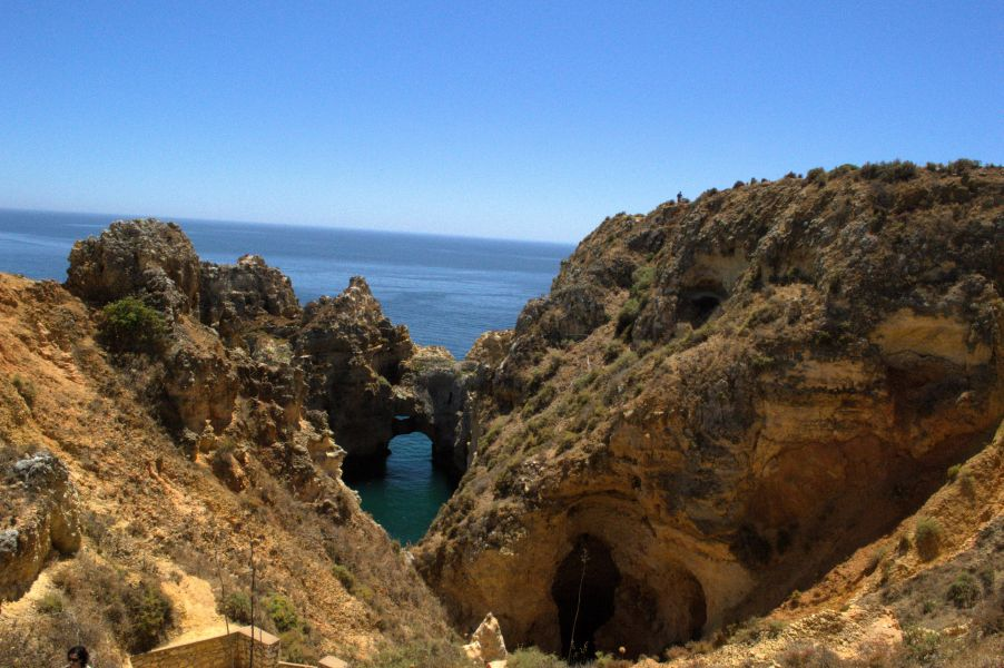
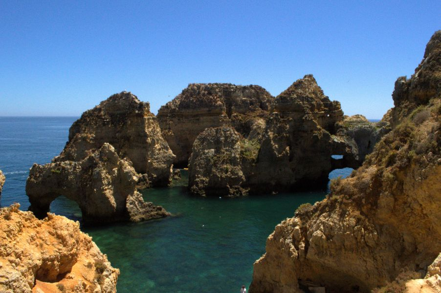
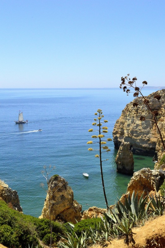
And the view. Golden limestone rock formations rising from crystal-clear water, sculpted into arches, caves, and sea stacks by millennia of erosion. The rock has a warmth to it in the afternoon light that photographs can’t quite capture. Looking down into the water from the cliff edge, the colour shifts from pale turquoise to deep green depending on depth — that specific Mediterranean palette that makes you want to jump in, even knowing the Atlantic is considerably colder than it looks. (It is terribly cold. Don’t be fooled by the colour.)
Along the way, the beaches are worth pausing at. Praia Dona Ana is one of the most visually striking on the entire Algarve coast — a small, sheltered beach hemmed in by high sandstone cliffs, the kind of place that warrants sitting for a while rather than just photographing and moving on.
Continue past the lighthouse to find the 200 steps carved down to the water’s edge — worth the descent for the perspective of the rock pinnacles rising around you at sea level.
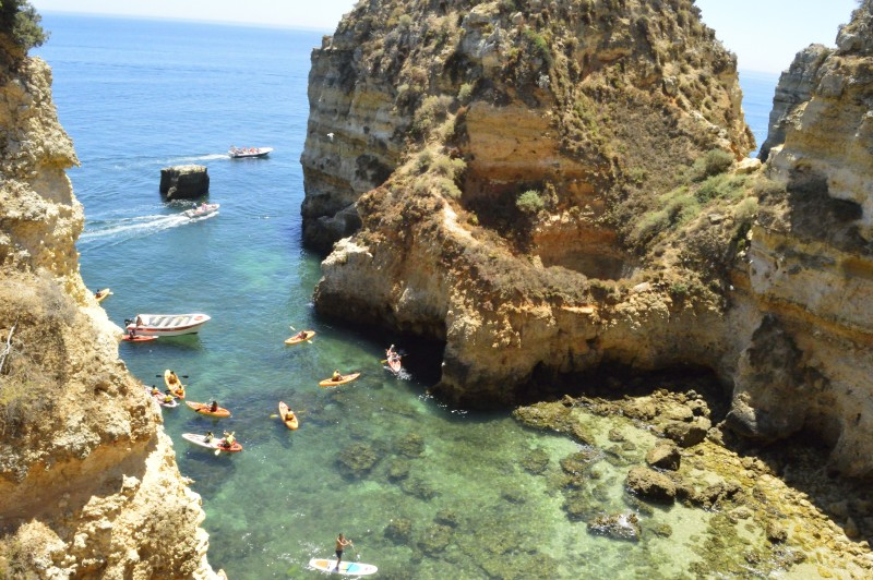
One thing I wish I’d known: Boat tours depart from Ponta da Piedade, taking you through the sea caves and rock labyrinths from the water — about €20 for an hour and fifteen minutes. I didn’t know about this until afterward and genuinely wish I’d done it. The same coastline looks completely different from sea level than from above, in the same way that hiking the Kalalau Trail in Kauai and then seeing it from a boat on a different trip were two entirely separate experiences of the same place. If you can, do both. Walk the cliff, then take the boat.
Practical notes:
- Start at the Marina for the best orientation into town at the end
- Afternoon light is beautiful on the golden rock — worth timing your walk accordingly
- The larger beaches along the route have restaurants and toilets; some rent sun loungers
2. Seven Hanging Valleys (Sete Vales Suspensos)
Distance
Elevation Gain
Type
Start/End
Midpoint
Difficulty
Terrain
Route
12.5 km (7.8 mi)
421 m (1,381 ft)
out and back
Praia da Marinha
Praia de Vale Centianes
Intermediate
Cliff paths, rocky sections — hiking boots recommended
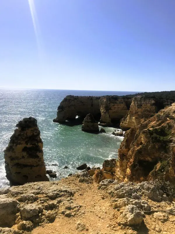
This is the one that turns up on every Algarve search, and the reason is simple: it’s stunning from start to finish.
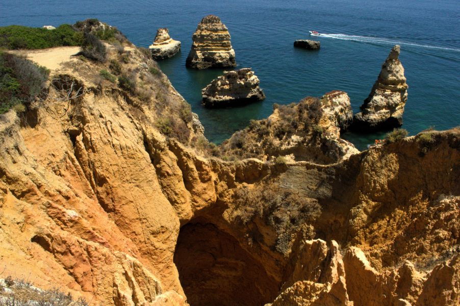
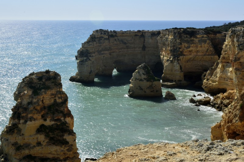
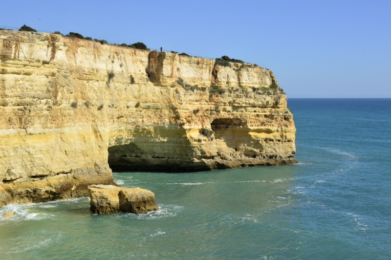
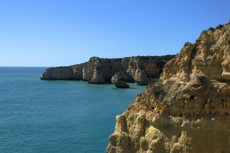
The trail begins at Praia da Marinha, regularly listed among Europe’s most beautiful beaches, and follows the clifftop east. The “hanging valleys” of the name refer to seven distinct ravines carved by ancient streams that drop abruptly above sea level — leaving their valleys suspended in the limestone cliffs, each filled with lush vegetation that contrasts dramatically with the golden, eroded rock around them. The effect is genuinely dramatic. At every turn, another arch, another cove, another stretch of turquoise water appears below.
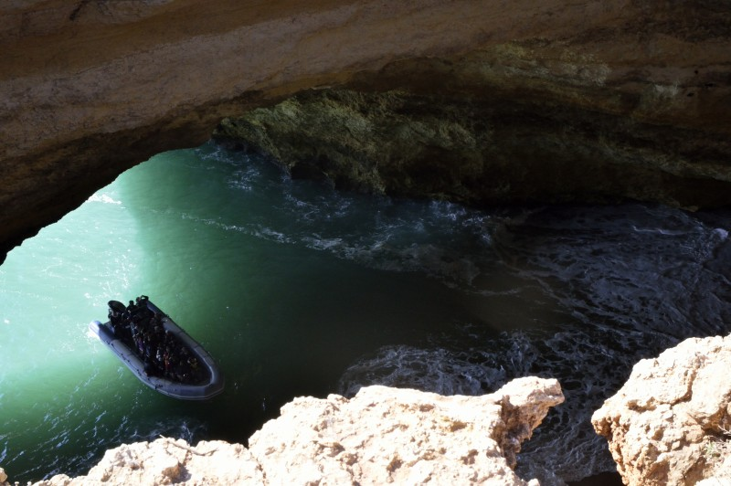
We didn’t complete the full trail — a boat tour to Benagil Cave was booked for later in the afternoon, and we were working against the clock. We walked as far as the cave viewpoint, where you can look down through a hole in the cliff roof into the famous domed interior below. A boat full of tourists floated in through the sea entrance while we watched from above.
Honestly? The cave is better than the boat. From the clifftop, it’s hard to make much of what you’re seeing, and the interior is mostly obscured. The water down there is a breathtaking turquoise, and the scale is impressive, but if you have to choose between the viewpoint and the boat tour, take the boat. If you have time for both, the full trail is absolutely worth finishing.
Tips:
- Start early — the Praia da Marinha car park fills quickly as it also serves beach visitors
- Go east to west if starting in the morning, so the sun is behind you
- Little shade cover — sunscreen, water, and a hat are non-negotiable
- Hiking boots are recommended for the rockier sections near Benagil
- Stop at the café at Vale de Centianes beach mid-route
3. Albufeira Marina to Praia da Galé (Circular Route)
Distance
Elevation Gain
Type
Start/End
Midpoint
Difficulty
Terrain
Route
13 km (8.1 mi)
228 m (748 ft)
Loop (or out and back — see below)
Albufeira Marina
Praia da Galé
Moderate
Cliff paths, rocky sections, and some road walking on the return
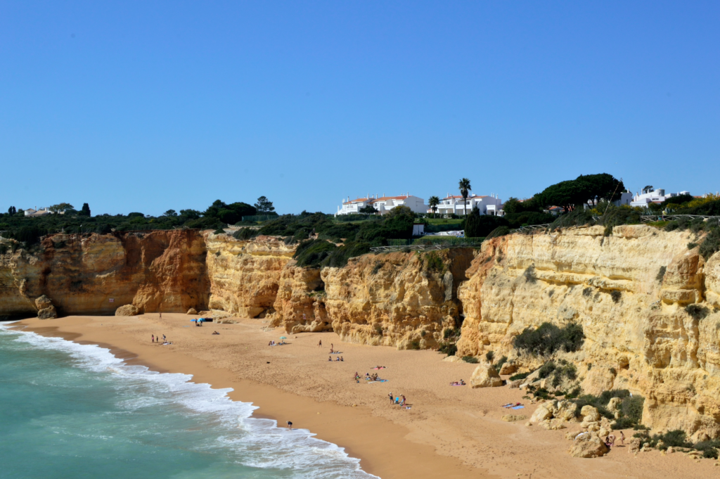
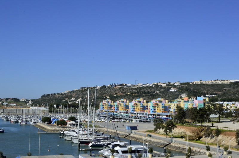
The Albufeira Marina is worth pausing at before you even start walking — a genuinely photogenic cluster of colourful buildings with boats and masts bobbing below, cheerful and a little chaotic in the best way.
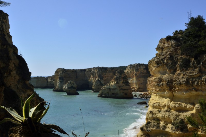
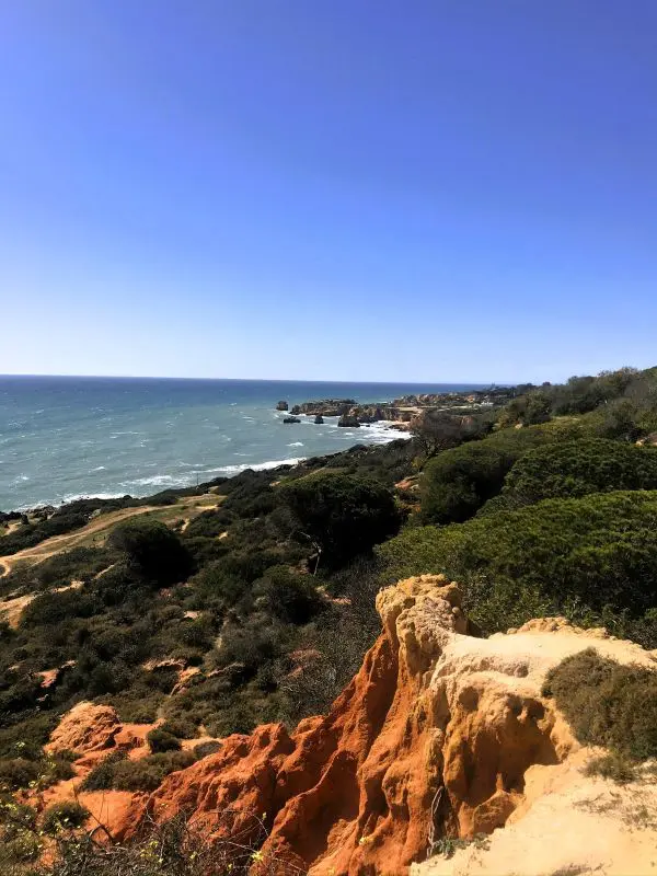
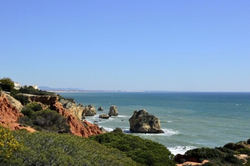
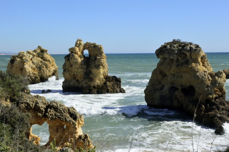
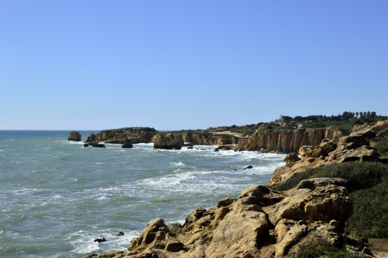
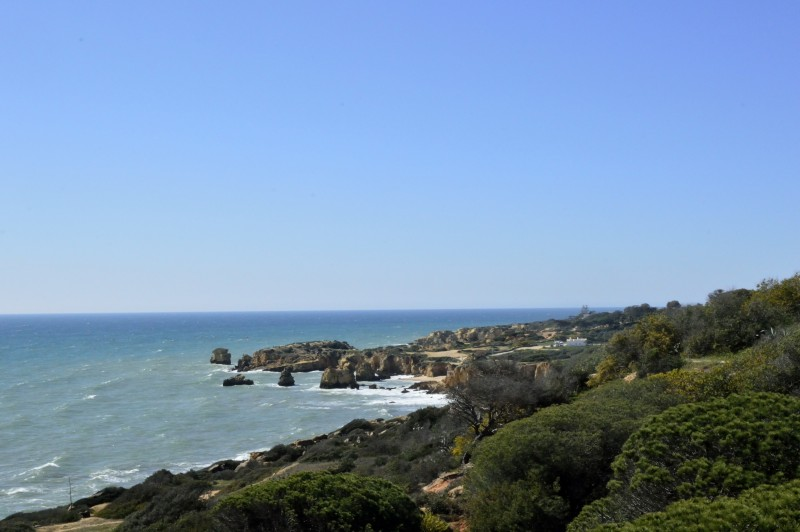
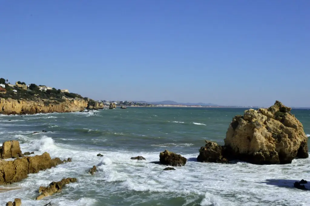
From there, the outward route follows the golden cliffs west, passing hidden coves, arches, and rock formations at every turn. We found one rock formation with a rough heart shape eroded through the centre of it — the kind of detail you’d walk straight past if you weren’t looking, and can’t unsee once you’ve spotted it.
The trail can be tricky to follow in places — erosion and informal paths made by other walkers have muddied the route in some sections. Keep your eyes on the clifftop and trust that the ocean is always to your right heading west.
The return leg follows quieter inland roads through residential areas, which is fine but significantly less interesting than the cliff section. My honest recommendation: walk it as an out-and-back along the cliffs, or if you do want the loop, start with the road section so you finish on the dramatic coastal stretch. Ending on a residential road after the Golden Cliffs and hidden coves is a bit of a deflation.
Tips:
- Trail markers are inconsistent — a map app or downloaded route helps
- Rocky throughout — proper footwear, not sandals
- Little shade, hot in the middle of the day; early morning start recommended
- The cliff perspective is genuinely different on the return — even if you do the out and back, the views change as you face the other direction
4. Telheiro Beach to Ponta Ruiva
Distance
Elevation Gain
Type
Start/End
Midpoint
Difficulty
Terrain
Route
7.2 km (4.5 mi)
153 m (502 ft)
out and back
Praia do Telheiro
Ponta Ruiva Beach
Easy–Moderate
Cliff paths, some rough sections
This one is different — and that difference is exactly why it’s worth including.
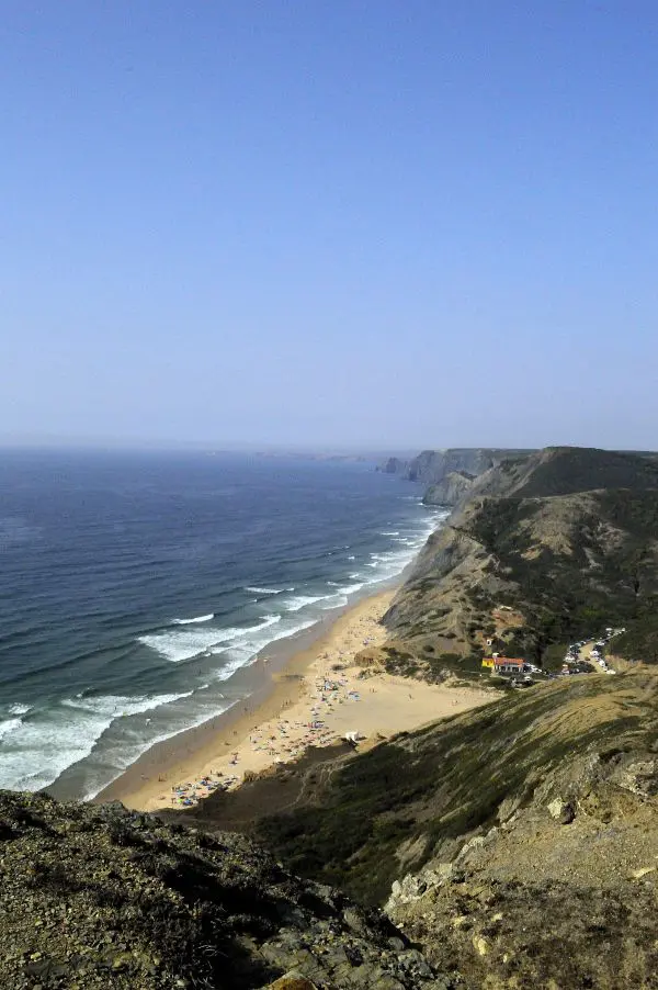
All the other walks in this post hug the south coast of the Algarve, with its sheltered golden limestone formations and that particular turquoise calm. Telheiro to Ponta Ruiva is on the southwest coast, where the Atlantic hits with noticeably more force. The waves here have real weight to them, rolling in across wide open bays, each one trailing its own little whitecap and sending mist drifting up around the cliff faces. On the day we walked it, there was something almost atmospheric about the light through that haze — less like a postcard, more like a painting.
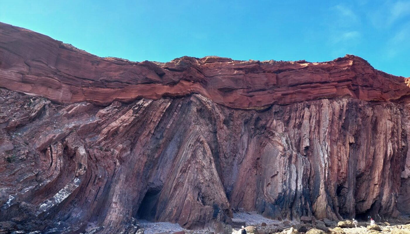
The cliffs themselves look entirely different here, too. At Praia do Telheiro, you’re standing on a UNESCO-recognized geosite — a place where rocks from two completely different geological eras meet in the same cliff face. The lower layers are dark shales and greywackes from the Carboniferous period, folded by the tectonic forces that built the supercontinent Pangea. Above them sit the red sandstones of the Triassic — brought from an entirely different continental environment, deposited more than 50 million years later. The colour difference is visible to the naked eye: dark and folded at the base, rust-red and layered above. I didn’t know any of this standing there, but I noticed the difference immediately and kept thinking it reminded me of Cornwall and the Cliffs of Moher in Ireland — that same raw, ancient quality that the south coast cliffs don’t quite have.
At the far end, Ponta Ruiva Beach opens up into a wide expanse of soft golden sand — a popular surf spot, particularly in winter between October and March, when the Atlantic swells are at their biggest.
Practical notes:
- A car is essentially required — the nearest bus stop is 4.5 km away
- Parking available at Telheiro Beach
- Best combined with a broader west coast day — Sagres is nearby
5. Sagres Fortress + Praia do Tonel to Praia do Beliche
Distance
Elevation Gain
Type
Start/End
Midpoint
Difficulty
Terrain
Route
10.5 km (6.5 mi)
290 m (951 ft)
Out and back plus loop
Sagres Fortress
Praia do Beliche
Moderate
Cliff paths, short road section
All Trails Fortress route + Cliffs route
Start inside the fortress before you start walking. It earns the detour.
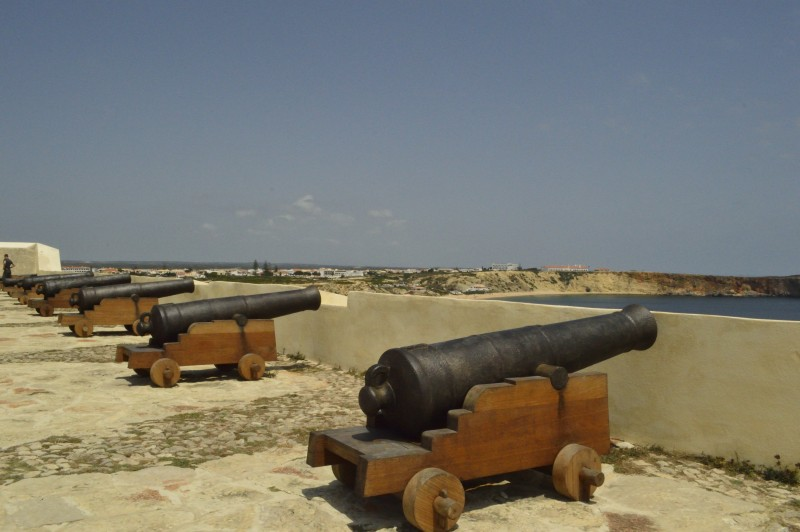
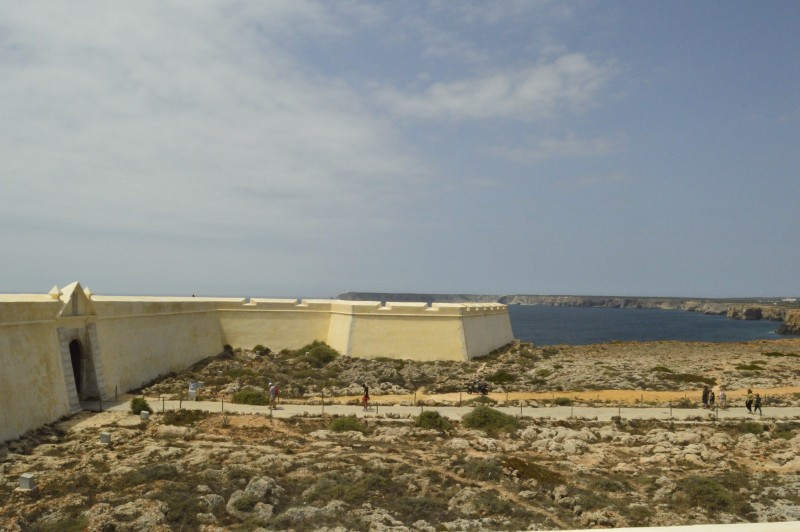
Sagres Fortress was built in the 15th century during the era of Prince Henry the Navigator — the man largely responsible for Portugal’s Age of Discovery, when Portuguese sailors were mapping coastlines that had never appeared on European charts. The fortress sits on a dramatic promontory above the Atlantic, and even heavily rebuilt after the 1755 earthquake, there’s something about standing inside it that puts you at the edge of the known world in a way that’s hard to articulate. In 2018, it was the most visited monument in the Algarve, and it earned that.
Inside, the Church of Nossa Senhora da Graça stands almost alone within the vast fortified space — small, whitewashed, minimalist inside, built around 1570. It has been sitting here through centuries of Atlantic weather, and it shows, in the best way. Simple and enduring.
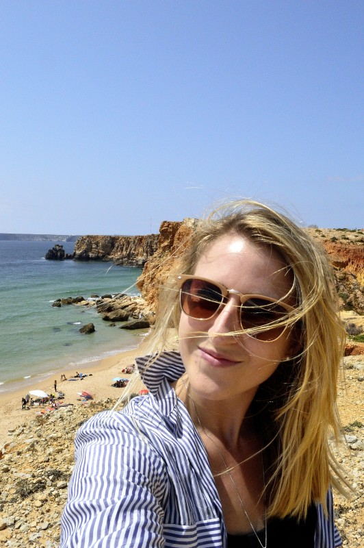
A word of warning: it can be extremely windy here. Not breezy — genuinely, hair-whipping-across-your-face, hat-lifting-off-your-head windy. Bring a windbreaker, secure your hat, and if you have long hair, put it up before you get out of the car.
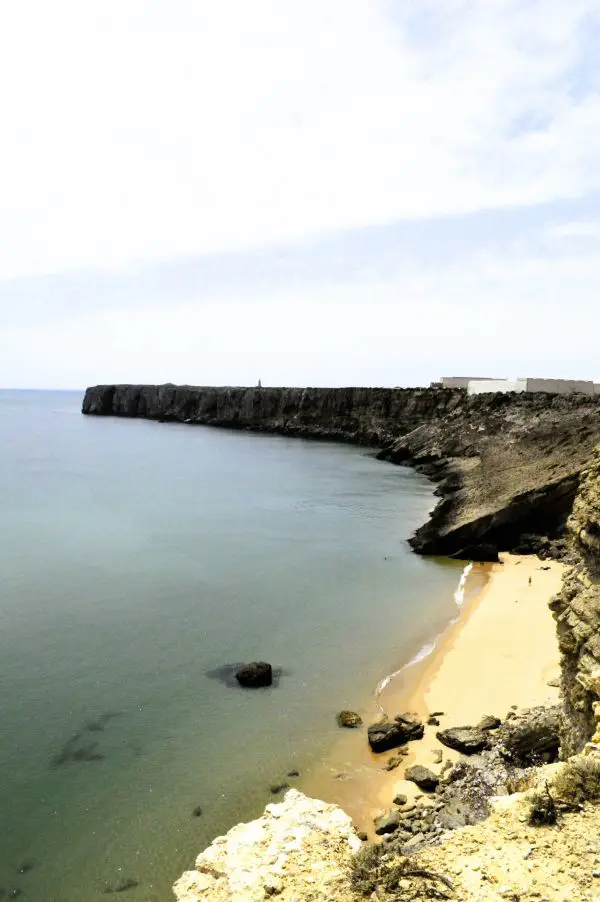
From the fortress car park, a short trail leads down toward Praia do Tonel — a wide, dramatic beach where you can either drop to the sand or continue along the clifftop. There’s a brief road crossing before the walking path resumes, and then the route follows the cliffs south toward Praia do Beliche.
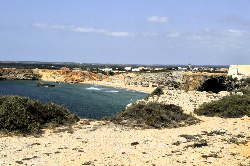
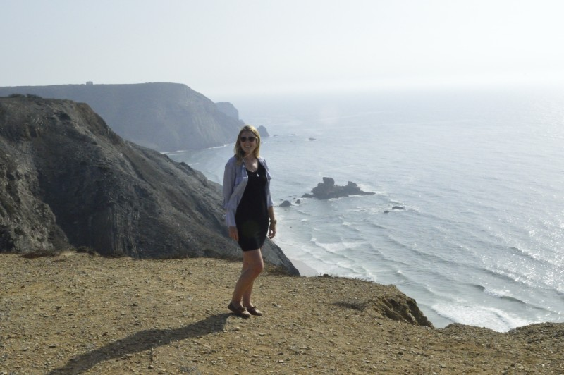
The cliffs along this stretch are different again from both the south coast and the southwest — dramatically red, sheer, and bold against the open Atlantic. Fewer rock formations and arches than Seven Hanging Valleys, but the scale and colour make up for it. The Cape St. Vincent lighthouse is visible at the farthest point — the southwestern-most tip of continental Europe, which adds a particular kind of weight to looking out at the horizon.
At Praia do Beliche, there’s a small beach bar with remarkable views. Worth stopping.
Tip: The main coastal road at Sagres is also a designated cycling route — a future option for covering more ground on two wheels.
Practical Notes for All Five Walks
Heat and sun: The Algarve clifftops have almost no shade. On every single one of these routes, sunscreen, a hat, and significantly more water than you think you’ll need are non-negotiable. The air smells hot here in a way that’s particular to the south — dry and slightly salty, with the crash of waves underneath everything — and it is genuinely, relentlessly warm from late spring through early autumn.
Footwear: Sandals are fine for the Ponta da Piedade boardwalks. For everything else, trail runners or hiking boots. The rocky sections on Seven Hanging Valleys and the Albufeira loop are uneven enough to turn an ankle in the wrong footwear.
Timing: Morning starts are better — cooler temperatures, better light on the golden cliffs, and parking at popular trailheads before the beach crowds arrive.
Getting around: A car makes the western Algarve walks (Telheiro, Sagres) much more accessible. The central and Lagos walks are reachable by public bus or taxi from their respective towns.
Plan This Trip
Where to base yourself:
- Lagos — best for the western Algarve. Easy access to Ponta da Piedade on foot, day trip distance to Sagres and Telheiro.
- Albufeira — best for the central Algarve. Praia da Marinha and the Seven Hanging Valleys are easily reachable, and the Marina loop starts right in town.
Both towns have plenty of accommodation options across all budgets. Albufeira is livelier and more tourist-facing; Lagos has a slightly more relaxed feel and a well-preserved old town worth wandering.
Tours and activities: Benagil Cave boat tours, Ponta da Piedade sea cave tours, and other Algarve coastal experiences
Pin me for later
You might like these other Portugal posts: