Medium Cycle: Abbotsford to Chilliwack Dyke Gravel Route
The Sumas Dyke Trail and Vedder Rotary Trail offer one of the best relaxed gravel rides in the Fraser Valley—long stretches of dedicated pathways, mountain views in every direction, and a route that feels far removed from the nearby cities. Depending on the season, you’ll pass salmon fishers, grazing farmland, colourful wildflowers, and snow-capped mountain peaks rising above the valley.
Located just outside Chilliwack, this ride combines peaceful riverside riding with wide-open farmland and the dramatic backdrop of the Coast Mountains. The terrain is approachable and mostly flat, making it ideal for newer gravel riders, casual weekend rides, or anyone looking for a scenic day on the bike without a huge physical challenge.
Ride Stats
Distance: 46 kilometres (28.5 miles)
Total Elevation Gain: 268 meters (613.5 feet)
Terrain: gravel
Type: out and back
Start
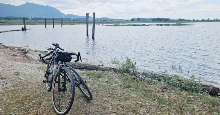
Starting at McKay Creek Park in Abbotsford, the ride begins on a gentle, forested riverside trail. This is a popular off-leash dog park, so be aware that you are likely to encounter people and dogs. This section is a short 1.5 km before crossing a bridge onto the Sumas Dyke Trail. From here, the landscape opens up into long, flat stretches alongside the Sumas River and then the Vedder Canal. McDonald Park, about 4.5 km from the start, offers a good rest stop with outhouses and picnic tables.


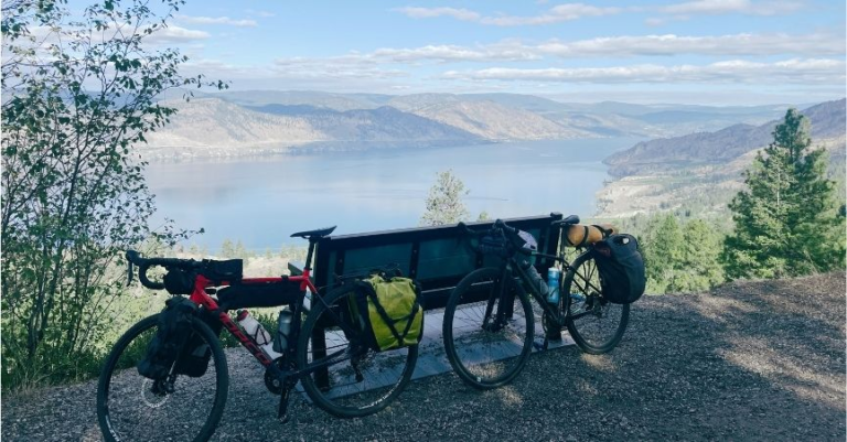
The elevation is minimal—aside from a ~50 m gain near the Vedder section, the route is essentially flat, making it a great option for steady cruising. But note that dyke is elevated and open, with very little shade, so it can feel hot in the summer. But with openness, it also gives you expansive views across the valley, often with Mount Baker dominating the skyline.

The Route & Landscape
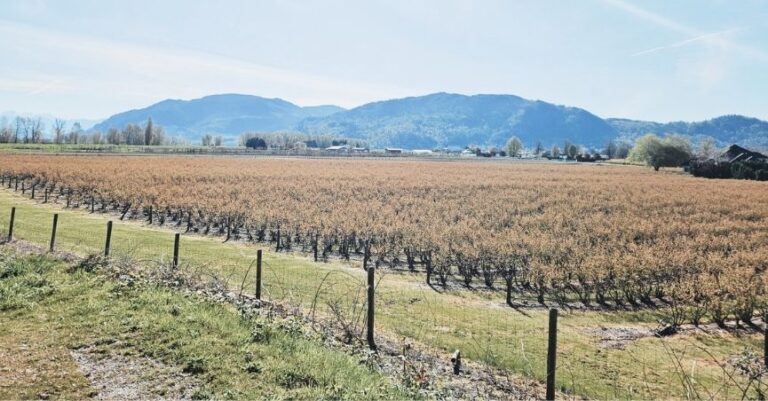
This stretch carries a surprising amount of history. You’re riding across what was once Sumas Lake, a large shallow lake drained in the 1920s to create farmland. The flatness, the openness, even the wind—all of it reflects that past. It’s a landscape that’s been completely reshaped, turning water into one of the most productive agricultural areas in the region.
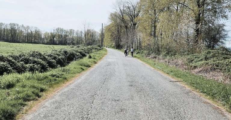
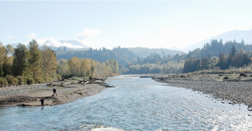
Nearing the edge of the Yarrow community, we transitioned off the Vedder South Dyke Trail onto the Vedder River Rotary Trail at Lumsden Road. You can make the transition earlier at Wilson Road. Here, the ride becomes a more enclosed forest trail again. This route follows the turquoise Vedder River with views of the Cheam range in the distance. Vedder is a key salmon spawning channel, where you’ll often see people fly fishing knee deep. The trail passes Vedder River Campground. Despite this, the south side is noticeably quieter than the north side. You might consider returning this way for a true out-and-back.


As you come off the gravel path and onto the paved path, and before the Vedder Bridge, there’s the option to stop at Sidekick Brewing with tasty beer, food and views of the river. Alternatively, you could continue into the Vedder Crossing area for more food options.
From here, make your decision to turn back the way you came, along the south trail or to try the north trail. Again, the north side is a lot busier with people walking and biking.
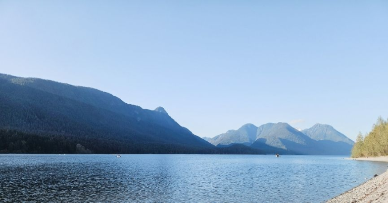
If you’re looking for more, Cultus Lake is just 3 km further along Cultus Lake Road—a perfect excuse for a swim at the end of the ride. Or if you are feeling very ambitious, connect this ride with the Olund and Matsqui ride via Sumas Mountain climb for a 100 km, 800 m elevation out and back ride that is mostly gravel.
Pin me for reading later…