Cycling Mount Baker from Canada: A Bike Day Trip
Summer feels like it has been slipping away. A mix of work, personal things, and weather that never quite committed to being summer had fast-forwarded through July. The bikepacking trips we’d had planned kept not happening. I hadn’t been riding as consistently as I’d wanted, and I needed a big mission day — not for any particular destination, just for the proof of it. We’d talked about cycling up Mount Baker before, that snow-capped peak we can see from the Fraser Valley on clear days. This was the day we finally did it.
Type 2 fun, from start to finish: the kind of experience that is genuinely hard while it’s happening and deeply satisfying only when you look back on it. This is that ride.
Mount Baker Cycle Stats
| Location | Sumas/Abbotsford border → Mount Baker, Washington State |
| Distance | 141.3 km (miles) |
| Total elevation | 2,051 m (feet) |
| Max grade | 10.6% |
| Time | Riding: 6 hours 45 minutes; elapsed: 8 hours 30 minutes |
| Bike type | Road |
| Type | Out and back |
| Best for | Strong road cyclists looking for a big day, anyone wanting to ride a mountain without acute climbs |
| Good to know | Cross at Sumas/Abbotsford on a bike — processed as a pedestrian, no car queue wait. This adds ~50 km and 450 m to the day vs. starting in Maple Falls, so factor it into your planning |
The Route Details
The Border Crossing
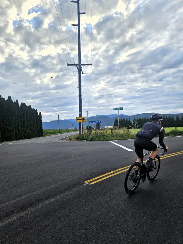
Many riders start this route from Maple Falls, Washington — which means driving across the border and dealing with car queues. We parked on the Canadian side near the Sumas/Abbotsford crossing and rode through instead. Border agents process cyclists as pedestrians, which meant almost no wait. They were visibly surprised — and maybe slightly impressed — that we were attempting to ride up Baker in a day. This approach adds approximately 50 km and 450 m of elevation to the total, which is not nothing, but it’s worth it for the time saved at the border and the satisfaction of having ridden the whole thing from Canadian soil.
Once through, you ride the main street through Sumas, turn left onto Front Street, and follow the road south.
Corn Fields, Quiet Roads, and the Way In
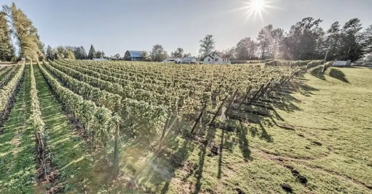
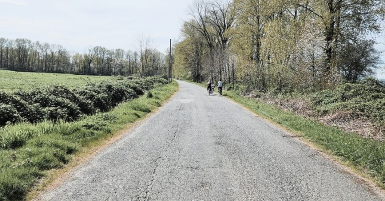
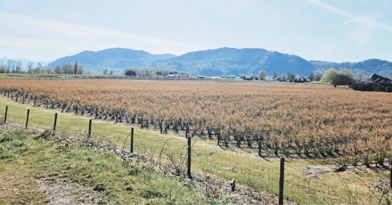
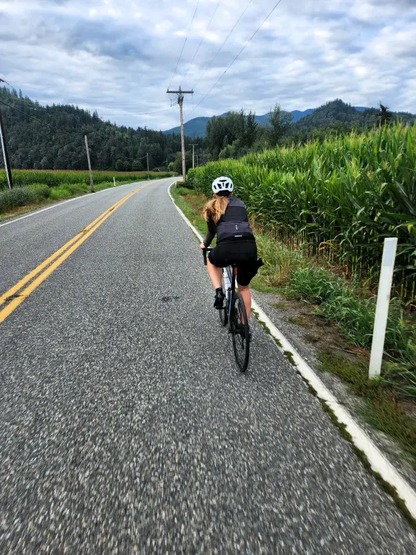
Once through that initial section, the ride settles into something genuinely lovely. The route passes between tall cornfields on either side of the road — an unexpectedly pastoral start to a mountain ride — before opening into the tree-lined, mostly-undeveloped landscape that defines the majority of the approach. Early on a summer morning, the roads were quiet, cars gave reasonable space on the narrow shoulders, and the combination of new scenery and fresh legs made the kilometres pass well. The way in is never monotonous when everything is still ahead of you.
In Maple Falls, we stopped at Joe’s Fine Coffee — a small, welcoming cafe with good espresso and scones, exactly what a long ride day calls for at the 30-ish kilometre mark. Not far up the road is the Mount Baker Visitor Centre if you want to stop for information or a break.
The First 10 km: Harder Than Expected
Within the first 10 km there’s about 200 m of climbing, and I hit it cold — legs not yet warm, the day’s full distance still abstract in my head. I genuinely wondered, briefly, whether I could do the whole thing.
I could. It just took warming up, loosening up, and finding a rhythm. This is worth knowing going in: the opening kilometres of this ride are not a gentle warm-up. Give yourself permission to feel rough for the first half hour before making any judgements about the day.
Along the Nooksack River
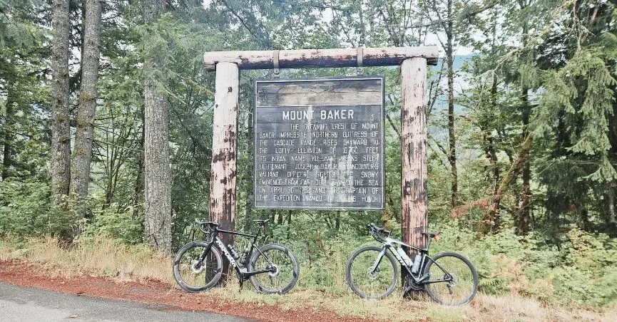
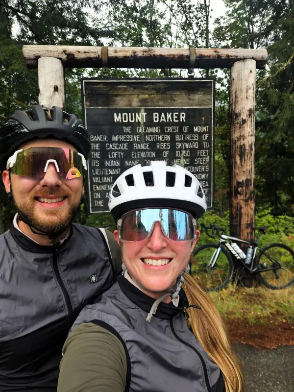
Stop at the Mount Baker Highway sign around kilometre 30 — there’s a good information board, but more importantly it’s a great photo opportunity before the real climbing begins.
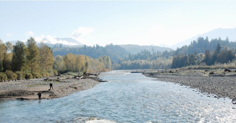
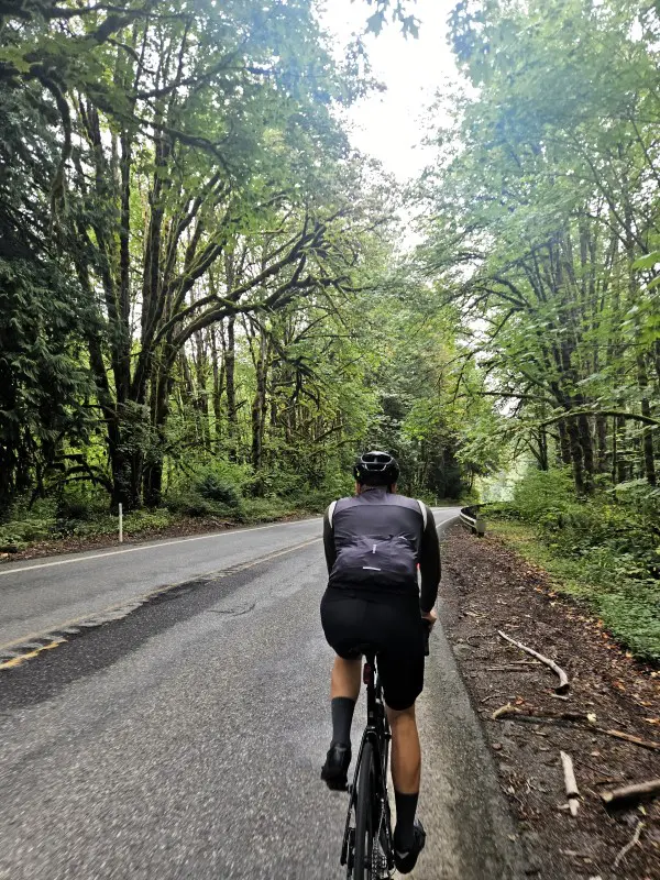
The route follows the Nooksack River for a stretch, with glimpses through the trees as the river winds toward and away from the road. The old-growth trees here are genuinely remarkable — towering, thick, draped in moss, arching over the road in a way that makes you feel small in the right way. A very picturesque section of road. You’ll pass trailheads and lodges along this stretch.
The Climb Begins: Nooksack River Crossing
Here’s the part that makes this ride quietly deceptive. The elevation profile looks like a mountain — a steep pyramid rising in the middle of the ride — but you won’t truly feel like you’re climbing a mountain until around the 55 km mark and nearly 900 m of elevation gain in. Up to that point it’s undulating rather than sustained climbing. On most rides I welcome a downhill section as a reprieve; on this one, every descent is elevation you’ll have to re-earn, which reframes how you feel about them entirely.
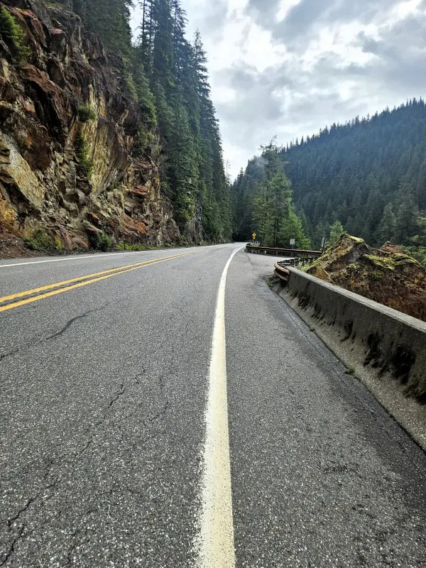
Once you cross the Nooksack River, the character of the road changes. The continuous ascent begins here — proper mountain switchbacks, sustained gradient, the climb you’ve been building toward for two hours. The road itself is imperfect in places: cracked pavement, sections where the shoulder disappears, tight and blind corners that require attention. There are places where the tarmac ends, a thin strip of gravel begins, and then the ground drops away steeply with no barrier. More than a little scary at speed. Stay alert, particularly on the descent.
The Views Open Up
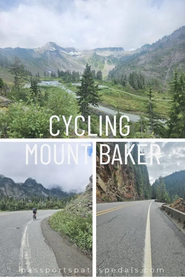
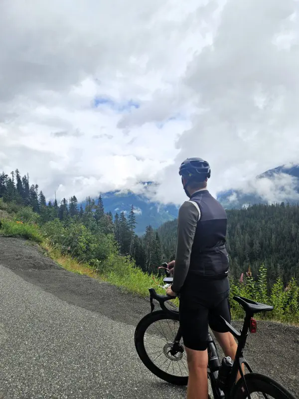
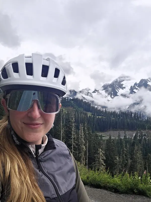
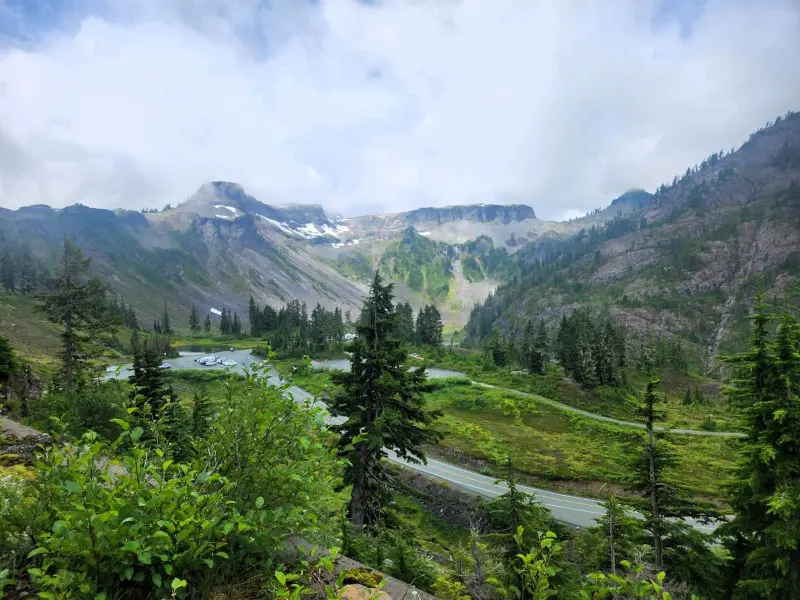
At around kilometre 66 the trees fall away and the views arrive. The Mt. Shuksan and Hanging Glacier viewpoint is one of the most dramatic along the route — snow and ice and rock above the treeline, the scale of it different from anything in the lower sections. Picture Lake Viewpoint comes shortly after, a serene alpine lake with a peak reflected in it on clear days. The name earns itself.
By this point for us, dark clouds had rolled in and much of the upper mountain was obscured. The view we’d been climbing toward was largely invisible.
Heather Meadows and the Split
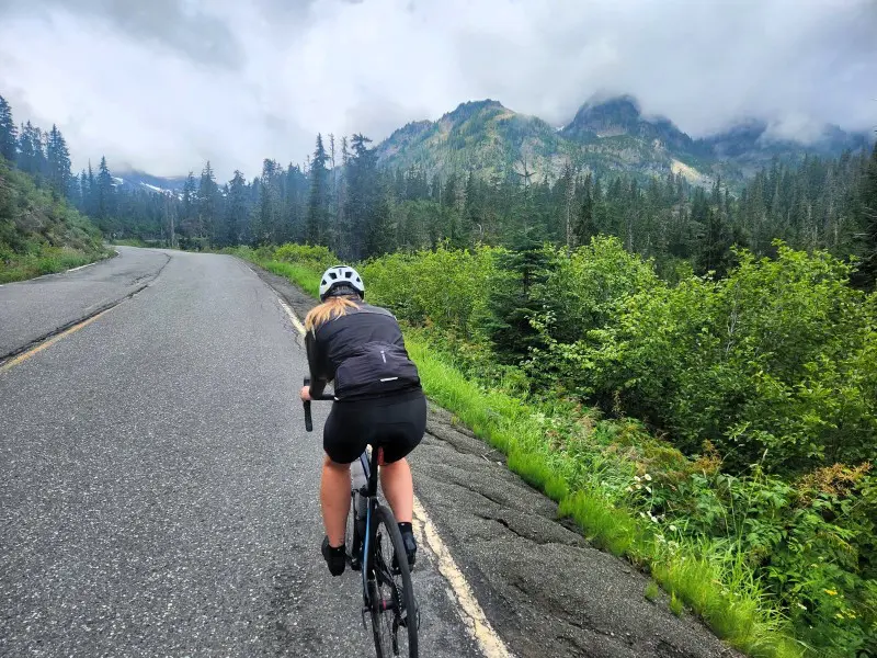
I stopped at Heather Meadows base area — a sandwich and coffee at the Heather Meadows Cafe, a moment to assess. My knee had been bothering me for the last stretch, more acutely than usual, and I was honest with myself about it. (A first run in years the week before had probably not been the ideal preparation for a 141 km ride — noted for next time.) The goal was in sight, but Artist Point was another 5 km and 250 m above.
Mark continued up. I waited.
He reached Artist Point — the end of the road, at the top — and found a trailhead area rather than the sweeping summit viewpoint he’d pictured. In the rain and cloud, the view was limited. He got an amazing photograph anyway, which is the consolation of arriving somewhere genuinely high up even when the weather doesn’t cooperate. If the visibility had been spectacular I’d have felt the knee call differently; as it was, I think I made the right call.
The Descent — Wet, Cold, and Focused
It started raining just as we split up. By the time we regrouped and began the descent, the roads were wet and the temperature had dropped with the elevation. We’d come prepared — gloves, long-sleeve thermal jerseys, lightweight vests — having learned on previous mountain descents how cold a long downhill can get. That preparation matters more than it sounds.
The descent required most of my mental focus. Wet roads, tight corners, the sections of cracked pavement and missing barriers — braking enough to stay in control, not so much as to overheat the rims. Being cold was almost secondary. The concentration required left little room for thinking about much else, which in its own way made it manageable.
At the Nooksack River crossing we were soaked through. It had briefly stopped raining, which was enough to let us start warming up — before it rained again. Then stopped. Then rained again. We passed groups of cyclists heading up in full summer kit, clearly not expecting what the upper mountain had become. We felt for them.
The Last 35 km
The return section is where the day earns its type 2 fun classification. You remember every section from the morning — the corn fields, the long straights, the gentle undulating climbs that felt manageable at 7am — and they remind you exactly how much further there is to go. My knee was making itself known consistently by this point. The last 35 km was head down, one kilometre at a time, not thinking about the total.
We finished. PRs in elevation gained and biggest single climb, some second-place time efforts across a few distance segments on the fast descents. A very large day.
What We’d Do Differently
Start earlier. We’d planned to and lost time to small things — wrong shoes packed, the usual pre-ride chaos. An earlier start gives more buffer against afternoon weather rolling in at elevation, which is exactly what happened to us.
Check the upper mountain forecast specifically. The lower road can be sunny while the summit area is completely socked in. Weather at Heather Meadows and Artist Point behaves independently from what you’ll see at the border crossing. There are webcams at the upper area worth checking the morning of.
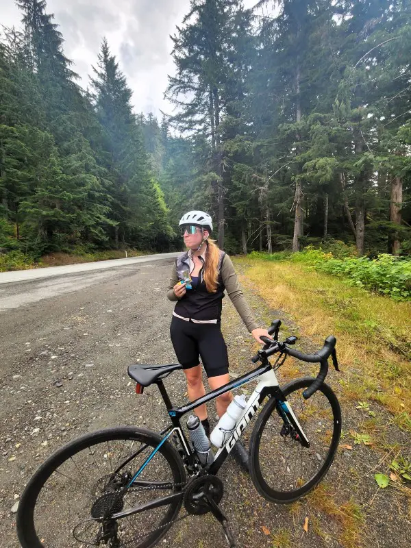
Carry more food than you think you need. At 141 km and 2,051 m the calorie requirement is significant. Joe’s in Maple Falls and the Heather Meadows Cafe are the two reliable food stops — there’s not much in between. We brought energy gels, energy stroopwaffles and other high calorie snacks, making sure to fuel every 45 minutes at least.
Practical Tips
Cross at Sumas/Abbotsford on a bike. Processed as a pedestrian, almost no wait. Car queues at the same crossing can be very long, particularly on summer weekends. This adds distance and elevation but saves significant time.
The climb doesn’t feel like a mountain until it does. The first 55 km and 900 m of the ride is undulating rather than steep. Don’t let the elevation profile fool you into underestimating the total — 2,051 m is 2,051 m regardless of how gradually it arrives.
Bring cold and wet weather gear regardless of the morning forecast. Upper mountain weather changes fast and does not match the valley. Gloves and a thermal layer for the descent are not optional on this route — they’re the difference between a manageable descent and a genuinely miserable one.
The road has some rough sections. Cracked pavement, missing shoulders, blind corners, and some places with sheer drops and no barriers. Stay alert on the descent especially.
Know your limits at the top. Artist Point is an additional 5 km and 250 m beyond Heather Meadows. On a 141 km day with 2,000 m of climbing already in your legs, that final push deserves honest assessment before you commit to it.
Pin me for later