Mount Cheam Hike: Big Fraser Valley Views
Some hikes you plan meticulously. Others you tack onto a day that was already going to be an adventure.
The Mount Cheam hike fell firmly into the second category. We were out for a 4×4 day with some friends — one of those summer days where the truck gets a proper workout on rough backcountry roads — and the hike was added as a way to make the most of already being out there. We hadn’t asked a lot of questions about the hike in advance. We hadn’t fully done our homework. And Mount Cheam, it turned out, had a few things to say about that.
At 2,112 metres, Mount Cheam is one of the most rewarding hikes in the Fraser Valley, with sweeping views in every direction and a summit that makes the 752 metres of elevation gain feel worthwhile. But it’s also a hike that asks something of you — in fitness, in preparation, and in a quiet respect for what it means to stand on top of a mountain.
If you’re considering the Mount Cheam hike yourself, here’s everything we wish we’d known before setting out — from the rough road to the trailhead and what the hike is actually like, to the views, the challenges, and what we’d do differently next time.
Mount Cheam Hike Trail Stats
| Distance | 9 km (5.6 mi) |
| Elevation Gain | 752 m (2,467 ft) |
| Time | 3.5 hours |
| Trail Type | Out and back |
| Terrain | Gravel, open meadow, rocky switchbacks, loose summit rock |
| Difficulty | Moderate–Strenuous |
| Trailhead | Cheam Peak FSR — high-clearance 4×4 required |
| Facilities | Outhouse at trailhead only |
| Best Month | September (dry, cooler, snow-free, bugs gone) |
| Note | Snow and ice bank present most of the year, including early July |
Getting There: This Starts Before the Trailhead
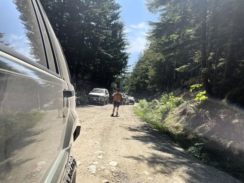
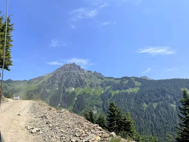
Let’s be clear upfront: you need a high-clearance 4×4 vehicle to reach the Mount Cheam trailhead. This isn’t a precaution — it’s a requirement. The forest service road is rough, with deep cross-ditches, washouts, and sections that will punish a low-clearance vehicle. We were in the right vehicle, and it was still slow, deliberate going.
A few practical notes on the drive:
- Don’t attempt this road in a regular car or low-clearance SUV
- Ideally, go with at least two vehicles in case one gets stuck
- Don’t hike this one solo — both the road and the trail warrant having a buddy
If 4×4 driving isn’t something you’re comfortable with, this hike may not be for you — or at least, not yet. The access road is part of the experience, and not in the fun way.
Tip: Combine the drive with a broader backcountry day if you have the vehicle and the group for it. That’s exactly how we did it, and it made the effort feel worthwhile from the moment we left home.
The Mount Cheam Trail: Three Acts
Act One: The Meadow
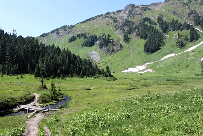
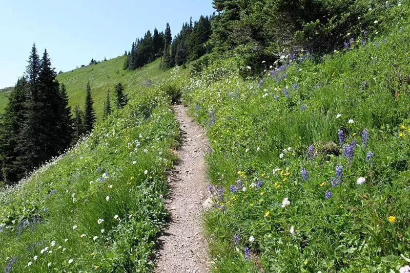
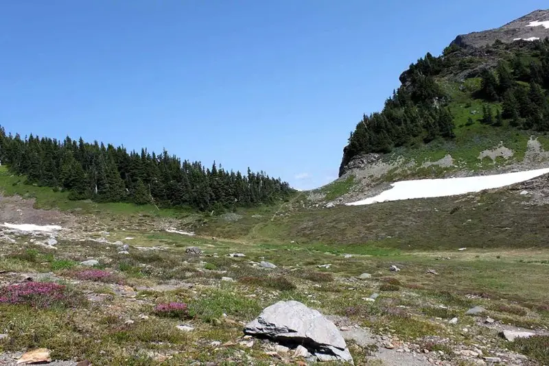
You start on a gravel path and gain elevation almost immediately. There’s very little shade on this section — the trail opens quickly into a wide, plateau-like alpine meadow that feels almost impossibly idyllic. Think wildflowers, open sky, green rolling terrain hemmed in by mountain peaks. It has serious Sound of Music energy — the kind of landscape you didn’t expect to stumble into, and that makes you slow down just to look around.
Spoon Lake appears partway through, though “lake” is a generous word for it in summer — more of a small pond ringed with grass, easy to walk past without realizing you’ve arrived. Worth a pause, but don’t expect drama.
Tip: Start early. This open meadow section has no shade and full sun exposure. In July, it was hot and relentless, and we felt it. Earlier start = cooler climb = better time overall.
Act Two: The Ice Bank and the Switchbacks
Past the meadow, the real climbing begins. The trail steepens through a few short groves of trees before pushing back out into open terrain toward the ice bank — a permanent-ish feature that lingers well into summer.
When we hit it, we were hot and sweaty from the sun-baked meadow climb. The cold air rolling off the ice was genuinely one of the best things I’ve felt mid-hike. We stopped there — the boys immediately started lobbing ice chunks at each other, as you do — and took a proper snack and water break, letting the cold do its work despite the sun still blazing overhead. If you’re struggling on the uphill, this is a natural and very welcome rest point.
The ice bank requires a crossing. It’s slippery. Take your time, watch your footing, and don’t rush it.
From there, the switchbacks begin in earnest. Paths narrow. The vegetation thins. The loose rock starts appearing underfoot and on the slopes around you. A worn track marks the route to the summit, but the terrain is demanding — and it stays demanding.
Tip: Don’t forget to turn around and look back on the switchbacks. The view builds as you climb, and catching your breath is a lot more enjoyable when you’ve got a reason to stop and look.
Act Three: The Ridge and the Summit
After roughly 40 minutes of switchbacks, the trail levels briefly at the upper pond — sometimes a proper little pond, sometimes just a rocky depression depending on the season. Either way, it signals you’re getting close.
Then one more push through a final series of switchbacks hugging the side of the mountain, and you hit the ridge.
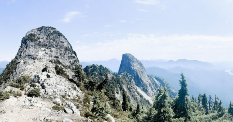
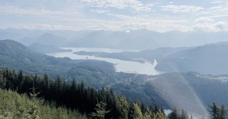
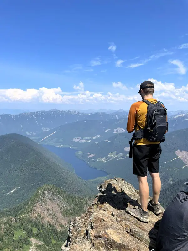
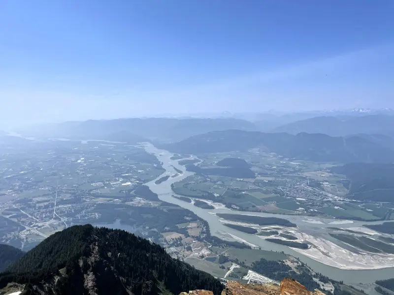
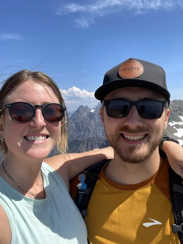
The ridge is your first real payoff. The Fraser Valley opens up below you — farmland spreading out in green and gold patchwork, mountains layered behind it, lakes glinting in the distance. I was still fairly new to the Valley when we did this hike, so Mark spent some time pointing out places I might recognize from ground level. It was hazy that day, so the views weren’t at their clearest — but even filtered through cloud, the scale of it was something.
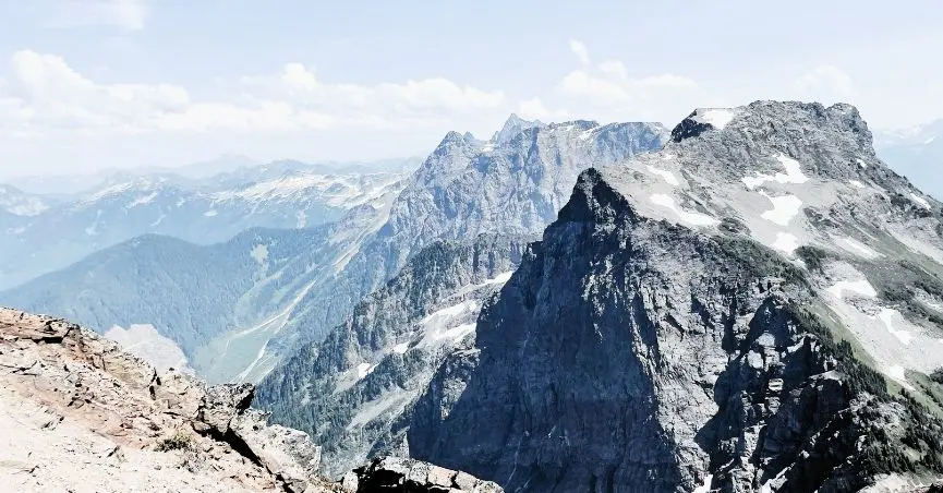
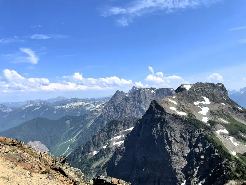
From the ridge, it’s a short walk to the summit of Mount Cheam at 2,107 metres (6,913 feet) — and the view opens to a full 360 degrees. Lady Peak immediately to the south. Mount Baker floating in the distance. Jones Lake below. The entire Fraser Valley stretched out around you.
It’s extraordinary. And it’s also, genuinely, a little unnerving.
On Summits and Humility
I want to be honest about this, because I think it matters.
Standing on a mountain summit is one of the more visceral reminders that humans are not, actually, invincible. The loose rock underfoot. The small, crowded space relative to the number of people wanting to stand on it. The dizzying sense of being taller than most things around you, with the world dropping away sharply on all sides. It’s thrilling. It’s also a little sobering.
At the summit of Mount Cheam, several plaques mark the lives of people who died here — individuals who went over the sheer cliff face on the north side, a drop now known as Angel’s Bowl. I stopped and read them. I don’t know the stories behind each loss, but standing there, I didn’t need to. The plaques said what they needed to say.
I do a fair bit of hiking. I’m not an expert, but I’ve developed a respect for what it takes to be genuinely prepared — the right footwear, enough food and water, knowledge of what you’re getting into before you leave the car. We hadn’t fully done that on this day. We hadn’t asked enough questions. The hike was longer and harder than we’d anticipated; I was less fit than I’d been the summer before, and we were probably under-fuelled after a long drive in the heat.
We got to the top. We got back safely. But I came home with a reminder I think is worth passing on: hiking a mountain isn’t something you can casually decide to do on a whim. Respect the mountain. Know what you’re walking into. Bring more food and water than you think you need. Check the conditions. Tell someone where you’re going.
The summit rewards you. But it asks for preparation first.
Is This Hike for You?
Yes, if: You have a 4×4 vehicle and are comfortable on rough FSRs, have a reasonable fitness base, are hiking with at least one other person, and are willing to check conditions and go prepared.
Think carefully if: You’re a casual or newer hiker, don’t have 4×4 access, are planning to go alone, or are attempting it outside of the July–September window without proper snow gear.
Best month to go: September. The trail is dry, temperatures are cooler, the bugs are gone, and the snow is least likely to cause issues. Early July is doable — we did it — but you’ll hit snow and ice, and the heat on the open sections is no joke.
Plan This Trip
Mount Cheam is accessible as a day trip from Vancouver or the Langley/Chilliwack area, but the 4×4 road access means you need the right vehicle sorted in advance. It’s not a casual morning decision.
- From Vancouver: Allow 1.5–2 hours to the trailhead depending on road conditions
- From Langley/Chilliwack: Closer — roughly 1–1.5 hours
- Combine with: A broader backcountry or 4×4 day to make the most of the drive in
Bring: Plenty of water (more than you think), snacks and a real meal if it’s a full day, microspikes or traction devices if going before August, layers for the summit even on a warm day, and solid hiking boots with ankle support.
Pin me for later
You might like these other BC Hiking posts: