Medium Cycle: Galiano Island Cycling Day Trip
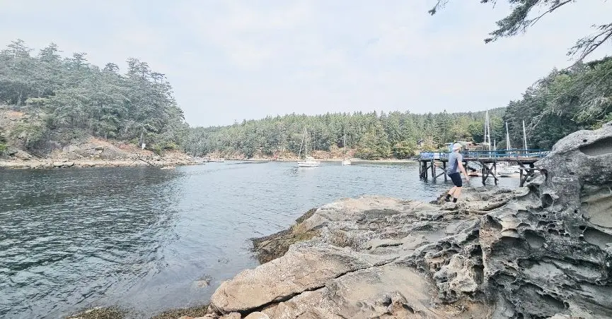
Galiano is long and narrow — about 27 km tip to tip, only a few kilometres across in places — and it doesn’t really have a town centre. What it has instead is forest, rocky shoreline, farmland, and a scattering of cafés, galleries, and farm stands strung along one main road. There’s no big attraction pulling you through it. It’s the kind of place built for slow exploring — a beach here, a farm stand there, a view you didn’t plan for — and cycling turns out to be the right speed for that.
We took our gravel bikes for a Saturday day trip: a loop near The Bluffs on the southwest end, then north to the very tip at Dionisio Point Provincial Park.
Galiano Island Cycling Summary
| Location | Galiano Island, BC — southern Gulf Islands, via BC Ferries from Tsawwassen or Victoria |
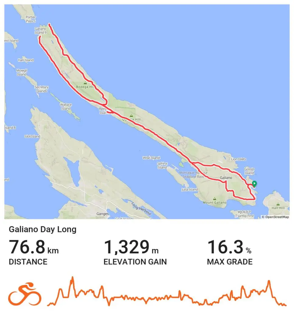
| Distance | ~60 km (37 mi) — one-fork route to Dionisio Point (77 km / 48 mi if you do both tips) |
| Elevation gain | ~1,200 m (3,940 ft) — 1,350 m (4,430 ft) for the two-tip route |
| Difficulty | Medium — no technical terrain, but you’re never far from a rolling hill or a climb |
| Bike type | Gravel recommended — narrow, rough-edged roads with little to no shoulder. Some connecting roads are gravel vs. paved. Gravel bikes give more options and a smother ride. |
| Ideal for | Cyclists building climbing endurance, a day trip from Vancouver, a taste-test for a future bikepacking overnighter |
| Good to know | Book ferry tickets ahead, even as walk-ons — this route sells out |
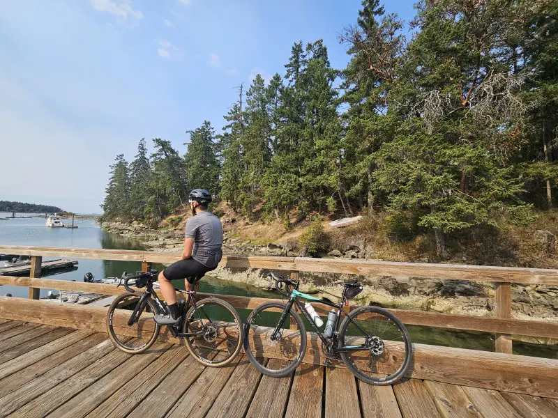
Overall: a fun adventure, solid climbing practice, and a quiet ride without a single “wow” moment we could point to — and that was fine.
We get the appeal of Galiano for bikepacking now, and next time, that’s probably how we’d do it.
The Route (And the Choice You Have to Make)
Galiano doesn’t give you a lot of route options — basically one main road, a handful of offshoots, and almost no way to loop without backtracking. About midway up the island, you hit a fork: northwest or northeast tip. Do one, and you’re looking at roughly 60 km (37 mi) and 1,200 m (3,940 ft) of climbing. Do both, and it’s closer to 77 km (48 mi) and 1,350 m (4,430 ft) — plus whatever it takes to get to and from the ferry.
We went northwest to Dionisio Point. In hindsight, we wished we’d done both — the eastern fork looks like it runs closer to the water, and we were left wondering what we’d missed.
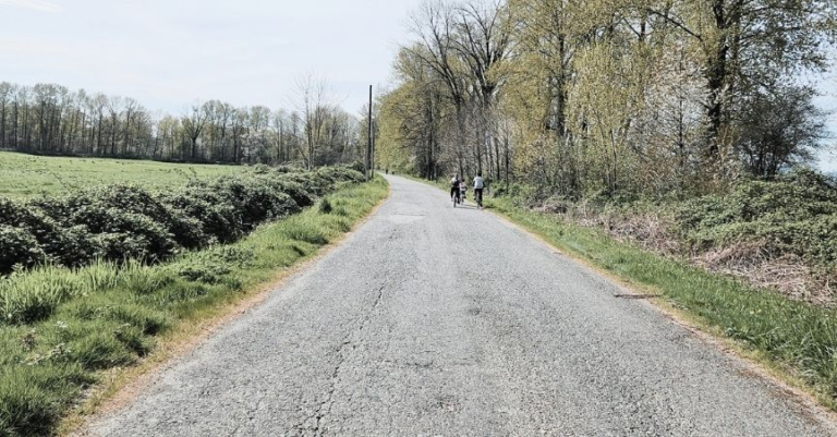
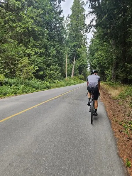
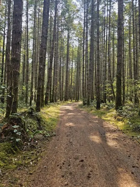
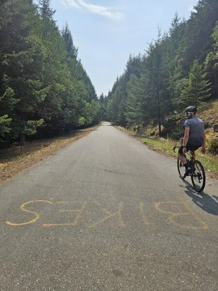
Because the road options are so limited, most of the ride is inland, through forest and a bit of open valley — which means it doesn’t offer much in the way of ocean views along the way. What it does offer is quiet. The roads have almost no traffic, which meant we could ride side by side for long stretches and actually talk, joke around, the normal texture of riding together rather than single-file concentration. The pavement has seen some wear and has little to no shoulder, so the gravel bikes were the right call — a little more gearing for the climbing, a little more forgiveness on the rougher sections.
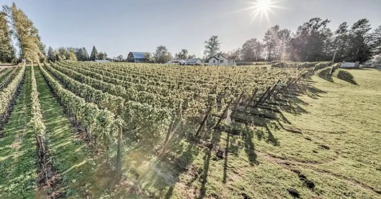
Tip: Vineyard Way has a nice view, but you’ll take it in either grinding up the hill or flying down it — not an easy place to actually stop.
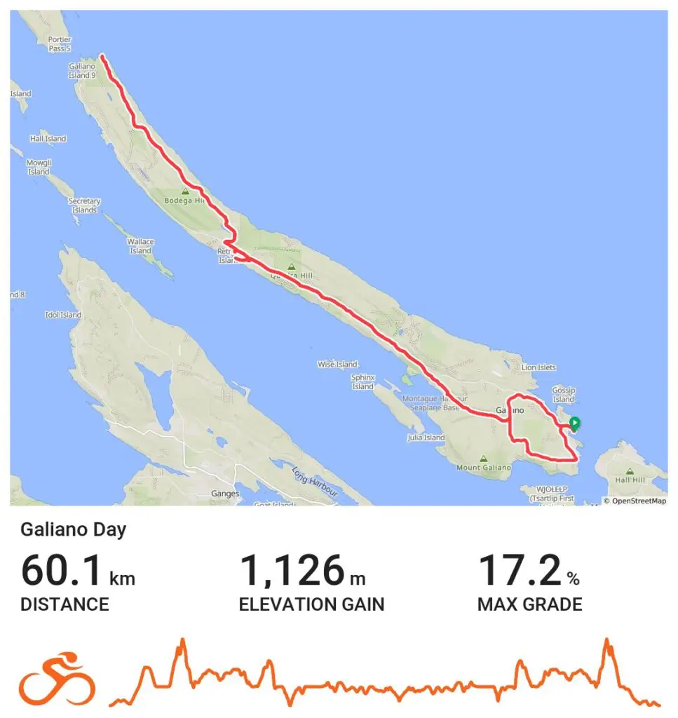
for the Ride With GPS route
Stops on Galiano Island
Retreat Cove
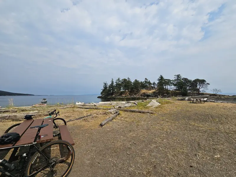
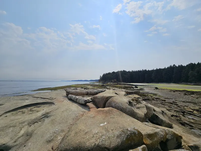
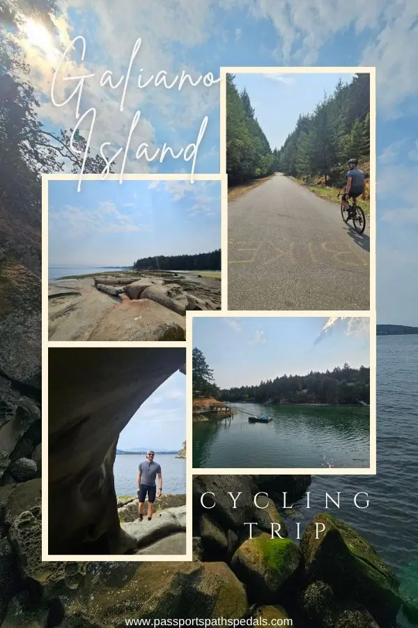
We stopped at Retreat Cove and again at Dionisio Point Provincial Park, and Dionisio Point was the highlight. A sand bridge connects out to a small island, and the shoreline there is sandstone eroded into strange shapes — little caves, shallow pockets, a texture that looks almost lunar. (Not sure if that sand bridge is passable at high tide — worth checking before you plan around it.) Standing on the rocks looking out, the water was clear over a sandy bottom, a big contrast to the seaweed along the main shore, and it was the kind of spot that makes you wish you’d packed a swimsuit — especially from the little peninsula, where jumping in at high tide looks genuinely appealing.
The air out there is its own thing: dried pine needles carrying that dry BC-summer, almost Okanagan smell, mixed with the salt tang off the water, and a heavier, slightly sticky quality to the air itself that you don’t get inland.
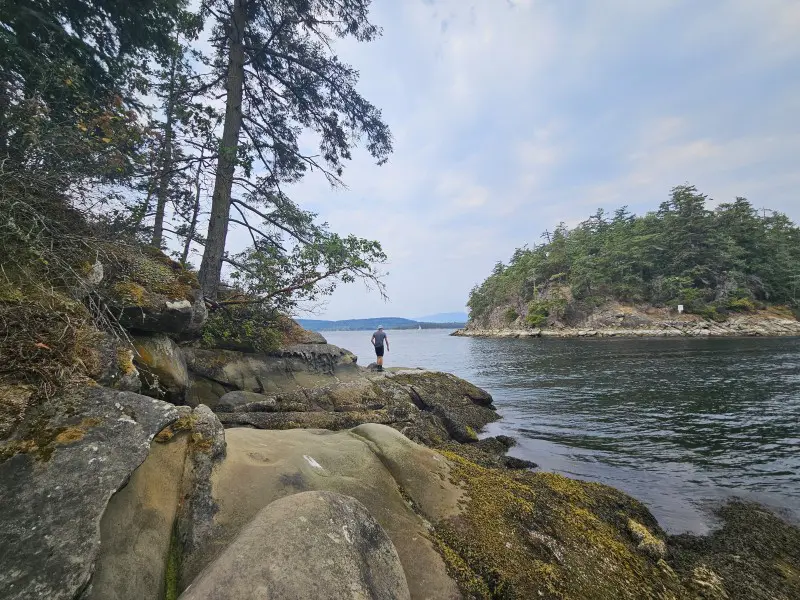
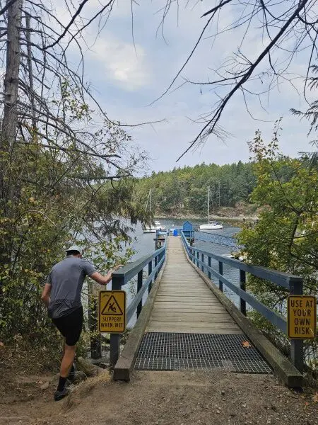
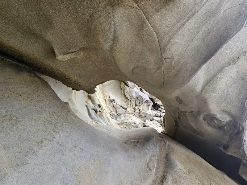
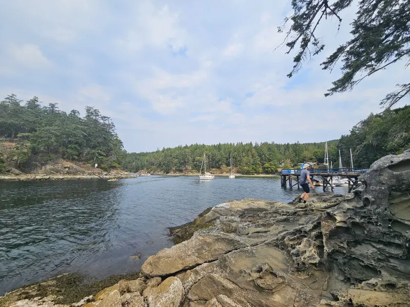
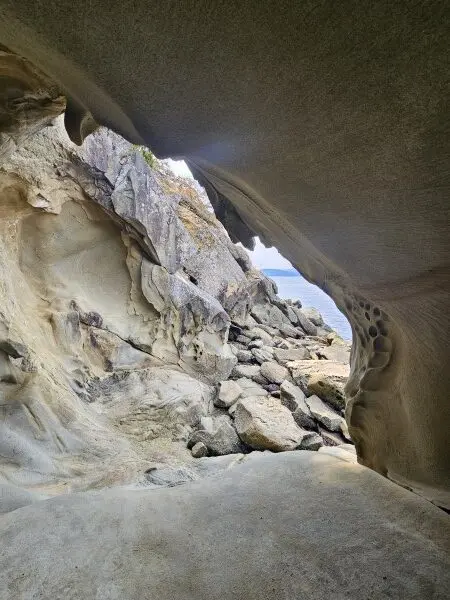
Dionisio Point
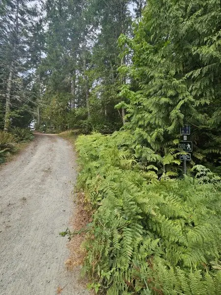
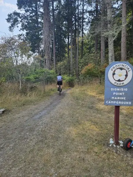
One quirk worth knowing: Dionisio Point is designated marine-access only — no road access for cars. There is a road, but it’s barricaded, partly on private land, tied up in a long-running dispute. That stops cars, not cyclists or hikers — we passed plenty of both, and it didn’t feel like anyone was enforcing it. Technically, you’re on private land for part of that stretch. Good to know before you go, even if in practice it seems to be tolerated.
We also passed bikepackers heading to Dionisio Point for the night, alongside faster day-tripper groups doing the road ride — a good mix of the two ways to do this island.
Honest note: we skipped the detour to the Bluffs viewpoint and a walk through Matthews Point Regional Park — we’d just come off the ferry and were ready to ride, not stop. Neither felt like a real loss, more a “next time.” Not every ride needs a big wow moment; this one was more about the adventure of a new place than any single showstopping view.
Food
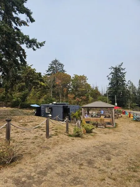
Valley Grill — a delicious smash burger and a fried chicken sandwich, good vibe. We were very ready for real food by the time we made it back here for a late lunch, after a day of gels and stroopwafels. Worth knowing: once you leave the terminal area, options for food and supplies thin out fast, so stock up or bring what you need before heading up-island.
Oxeye Bakery – on the same road from/to the ferry. Open Wednesday to Saturday 8 am-2 pm.
The Crane and Robin Restaurant – in Montague Harbour, seafood & sandwiches – nice view of the marina.
Max & Mortiz – food truck at the ferry waiting area. Mix of Indonesian and German dishes! Closed Saturdays, then open for breakfast, lunch and dinner timeframes.
If You’re Bikepacking Instead
We did this as a day trip, but Galiano would make a genuinely good overnighter, and honestly — knowing what we know now, that’s probably how we’d do it next time. Hiking options worth building a stay around: Bodega Ridge, The Bluffs, Mount Galiano (the island’s high point at 314 m, with panoramic views across the Gulf Islands), and the trails around Dionisio Point.
If you’re planning to camp at Dionisio Point: it’s first-come, first-served, and boat-in as well as bike/hike-in, so there’s no way to know ahead of time how full it’ll be. We overheard bikepackers on our ferry saying they’d arrived the previous Friday and the campground was already full. Arrive early in the day to claim a spot, and consider a weekday over a weekend if you can swing it.
Plan This Trip
The Ferries
Book your BC Ferries Tsawwassen–Galiano crossing here
The ferry is the whole logistics puzzle here. Gulf Island ferries don’t run frequently, and Galiano is the last stop before the route heads back to the mainland — which makes the return sailings unpredictably busy, especially Sunday evenings when everyone’s heading home from a weekend on the islands. We went on a Saturday and booked tickets ahead, even as walk-ons; a few weekends earlier we’d looked at a Sunday return, and it was already sold out, with a note about high foot traffic on the route. Missing a sailing means a 2–3 hour wait with very little on the island to fill the time — better to build in a bit of buffer than get caught by it.
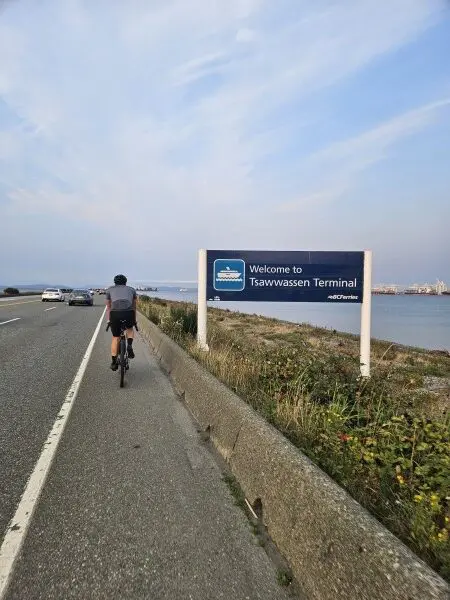
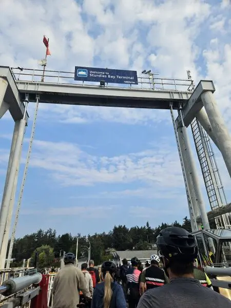
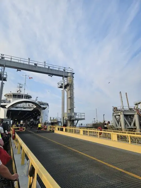
As a cyclist, you only pay the passenger fare — bikes ride free. BC Ferries recommends arriving 30–60 minutes ahead. On the Tsawwassen side, stick to that window, especially if you still need to buy tickets. On the Galiano side, if you’re already ticketed, 15–30 minutes is realistic. Skip the car gates — ride straight to passenger check-in. The causeway up to the terminal has bike lanes and a signalled crossing to the ticket booths, and you board with the walk-on passengers. Not every ferry has bike racks, so be ready to lean your bike wherever there’s space — crew are usually around to point you in the right direction.
Parking: we got lucky — my parents live near the terminal, so we parked at their place and rode the ~10 km there and back, free. If that’s not an option for you: the ferry terminal has short-term parking (~$24/24 hrs, multi-day available) or long-term (~$20/24 hrs); there’s also a park-and-shuttle option at a similar price, but the shuttle only runs 8 am–8:30 pm. Public transit is possible too — SkyTrain to Bridgeport, then a bus to the terminal — but bike capacity on the bus is often limited.
Climbing & Building Cycling Experience
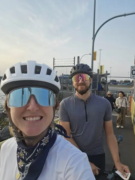
I’ll admit I’m not usually one to make a big deal about this kind of thing, but one of my goals this summer has been improving my climbing, and this ride was proof it’s working. Every uphill section on Galiano, tired or not, I rode — no walking. Small thing, but it’s the kind of small thing that adds up into confidence on the bigger rides.
This was also the first non-local ride where I was the architect — route, scenic stops, ferry logistics, navigation loaded onto my Garmin. Mark usually plans our rides; this time he helped with the logistics of getting to the ferry on time and mostly let me run it. I think he was happy to sit back a bit and watch me work through the unpredictable stuff that comes with riding somewhere new.
Pin me for later
You might like these other BC Cycling posts: